|
|


| |||||
|
|
 0
0
|

|

|

|
|
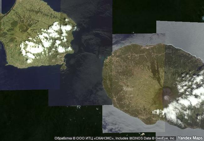
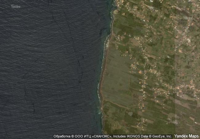
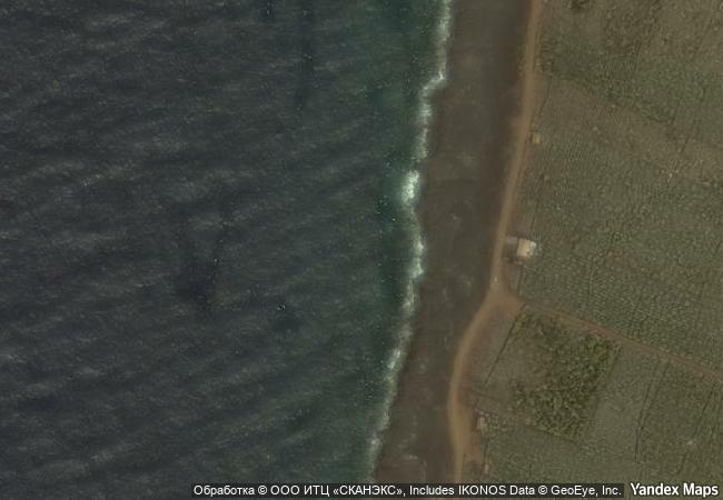
Landscape of the Pico Island Vineyard Culture |
|||

|
|||

|
|||

|
|||

|
|||

|
|||

|
|||

|
|||

|
|||

|
|||

|
|||

|
|||

|
|||

|
|||

|
|||
5.69 M
(3)  |
|
|
|
|
|
38,51 ° × -28,54 ° |
4.618.34 |
|
Atlantic Ocean |
|
|
|
|

|


|

|

|

|

|

|

|

|
|
|

|

|

|

|

|

|

|
 1 X ™ unesco
|
 Info
Info
|
 Map
Map
|
 similar
|
 language
|
|
|
|
|
|
|
|
|
|
|

|

|

|

|

|

|

|
|
| ▼ ▼ ▼ | |
|
|

|

|

|
|
► ► |