|
|


| |||||
|
|
 0
0
|

|

|

|
|
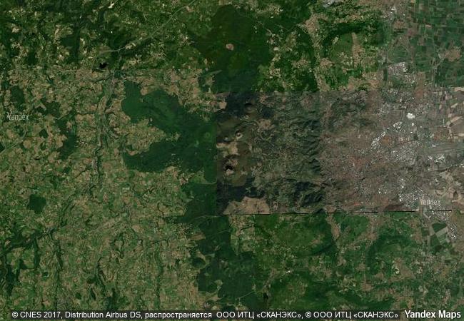
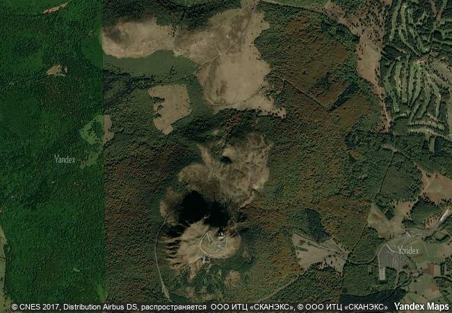
Chaîne des Puys - Limagne fault tectonic arena |
|||

|
|||

|
|||

|
|||

|
|||

|
|||

|
|||

|
|||

|
|||

|
|||

|
|||

|
|||
8.96 M
(2) |
|
|
|
|
|
45,77 ° × 2,96 ° |
6.687.19 |
|
France, Auvergne-Rhône-Alpes, Puy-de-Dôme, Arrondissement de Clermont-Ferrand, Orcines |
|
|
|

|
|


|

|

|

|

|
|

|

|

|

|

|

|

|

|

|

|
 1 X ™ unesco
|
 Info
Info
|
 Map
Map
|
 similar
|
 language
|
|
|
|
|
|
|
|
|
|
|

|

|

|

|

|

|

|
|
| ▼ ▼ ▼ | |
|
|

|

|

|
|
► ► |