|
|


| |||||
|
|
 0
0
|

|

|

|
|
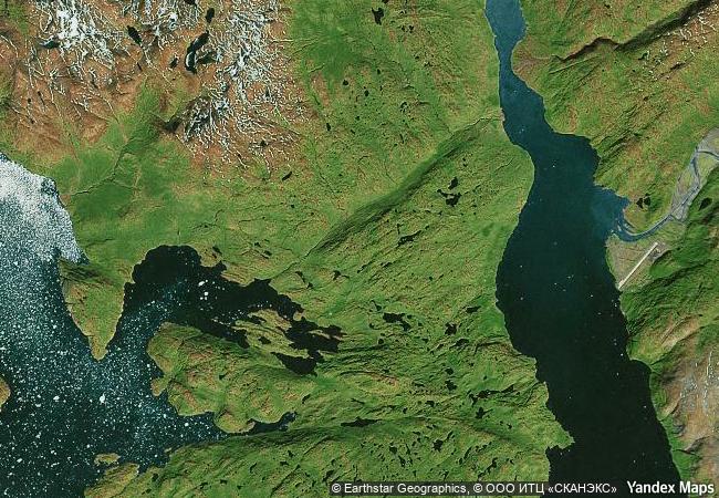
Kujataa Greenland: Norse and Inuit Farming at the Edge of the Ice Cap |
|||

|
|||

|
|||

|
|||

|
|||

|
|||

|
|||

|
|||

|
|||

|
|||

|
|||

|
|||
6.7 M
 |
|
|
|
|
|
61,16 ° × -45,59 ° |
3.457.96 |
|
Greenland, Kujalleq Municipality |
|
|

|

|

|


|

|

|

|

|

|

|

|

|

|

|

|

|

|

|

|
 1 X ™ unesco
|
 Info
Info
|
 Map
Map
|
 similar
|
 language
|
|
|
|
|
|
|
|
|
|
|

|

|

|

|

|

|

|
|
| ▼ ▼ ▼ | |
|
|

|

|

|
|
► ► |