xXx X 1 ™
⬤
unesco
⬤


☆
Kakatiya Rudreshwara (Ramappa) Temple, Telangana

Asia and the Pacific

13.304.24 km
☆
★★★★☆
0

Kakatiya Rudreshwara (Ramappa) Temple, Telangana


Identifier 1570
states in
category cultural
criteria (i)(iii)
Title kakatiya rudreshwara (ramappa) temple, telangana
latitude 18.2591323853
longitude 79.9432067871
Region asia and the pacific
year 2021
unique number 2310
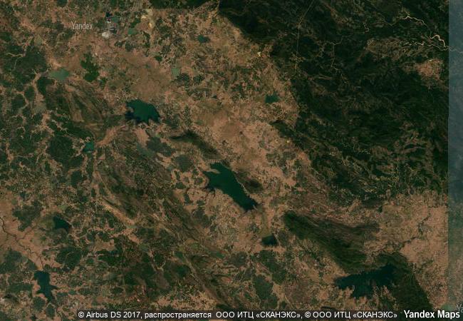
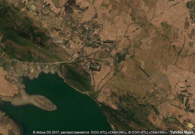
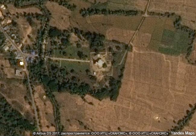
description rudreshwara, popularly known as ramappa temple, is located in the village of palampet approximately 200km north-east of hyderabad, in the state of telangana. it is the main shiva temple in a walled complex built during the kakatiyan period (1123–1323 ce) under rulers rudradeva and recharla rudra. construction of the sandstone temple began in 1213 ce and is believed to have continued over some 40 years. the building features decorated beams and pillars of carved granite and dolerite with a distinctive and pyramidal vimana (horizontally stepped tower) made of lightweight porous bricks, so-called ‘floating bricks’, which reduced the weight of the roof structures. the temple’s sculptures of high artistic quality illustrate regional dance customs and kakatiyan culture. located at the foothills of a forested area and amidst agricultural fields, close to the shores of the ramappa cheruvu, a kakatiya-built water reservoir, the choice of setting for the edifice followed the ideology and practice sanctioned in dharmic texts that temples are to be constructed to form an integral part of a natural setting, including hills, forests, springs, streams, lakes, catchment areas, and agricultural lands.
★
8.35 M

India
www.X-X-X.NAME
18,25 ° × 79,94 °

18 ° 16 ′ 33 ″ N × 79 ° 57 ′ 36 ″ E
13.304.24 km

235 ° W>SW
India, State of Telangana, Mulugu District, Venkatapur mandal

India / Deccan Plateau / State of Telangana / Mulugu District / Venkatapur mandal
☆
Boyana Church

Boyana district, Sofia

8.218.27 km
☆
Mir Castle Complex

Grodno Province (oblast), Korelichi District

7.635.45 km
☆
Fuerte de Samaipata

Province of Florida, Department of Santa Cruz

6.763.47 km
☆
Works of Antoni Gaudí

Europe and North America

6.865.59 km
☆
Sites of Human Evolution at Mount Carmel: The Nahal Me’arot / Wadi el-Mughara Caves

Europe and North America

9.726.69 km
☆
Cultural and Historic Ensemble of the Solovetsky Islands

Arkhangelsky region, Solovetsky district.

7.192.95 km
☆
Sacred City of Caral-Supe

Latin America and the Caribbean

5.682.48 km
☆
Archaeological Sites of Mycenae and Tiryns

Prefecture of Argolis, Region of the Peloponnesos

8.538.76 km
☆
Nubian Monuments from Abu Simbel to Philae

Governorate of Aswan

10.334.70 km
☆
Al-Ahsa Oasis, an Evolving Cultural Landscape

Arab States

11.247.70 km
☆
Cidade Velha, Historic Centre of Ribeira Grande

Africa

6.354.99 km
☆
Rock-Hewn Churches of Ivanovo

Village of Ivanovo, 16 km from the town of Ruse, Province of Ruse

8.309.66 km

©

1 X ™


BRAND • COM • CORP • GLOBAL • INT

AAA • BASE • GRAND • HIGH • ORIGINAL • QUALITY • TOP • UNIQUE

™X-X-X•NAME
1 X ™ unesco
Info
Map
similar
language
▼ ▼ ▼
guest


1 X
™
-4
IP : America/New_York
-4
IP : America/New_York
▼ ▼ ▼
►
►