1 xXx X
3
2
unesco


Petroglyphs of Lake Onega and the White Sea

Europe and North America

7.458.03 km
0

Petroglyphs of Lake Onega and the White Sea


Identifier 1654
states russian
category cultural
criteria (iii)
Title petroglyphs of lake onega and the white sea
latitude 61.7299003601
longitude 36.0126380920
Region europe and north america
year 2021
unique number 2401
description 
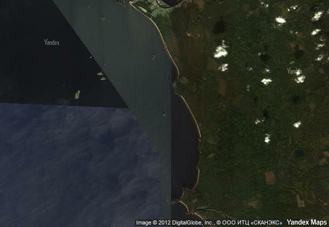
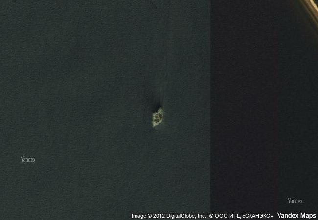
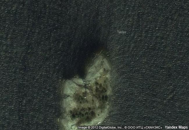
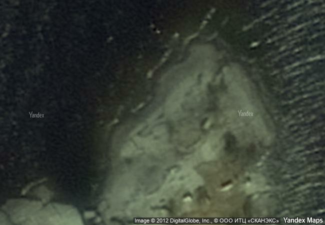
the site contains 4,500 petroglyphs carved in the rocks during the neolithic period dated about 6-7 thousand years ago and located in the republic of karelia in the russian federation. it is one of the largest such sites in europe with petroglyphs that document neolithic culture in fennoscandia. the serial property encompasses 33 rock art panels in two component parts 300km apart: 22 petroglyph groups at lake onega in the district of pudozhsky featuring a total of over 1,200 figures and 3,411 figures in 11 groups by the white sea in the district of belomorsky. the rock art figures at lake onega mostly represents birds, animals, half human and half animal figures as well as geometric shapes that may be symbols of the moon and the sun. the petroglyphs of the white sea are mostly composed of carvings depicting hunting and sailing scenes including their related equipment as well as animal and human footprints. they show significant artistic qualities and testify to the creativity of the stone age. the petroglyphs are associated with sites including settlements and burial grounds.
9.09 M
(3)

Russian Federation
www.X-X-X.NAME
61,72 ° × 36,01 °

61 ° 44 ′ 48 ″ N × 36 ° 01 ′ 45 ″ E
7.458.03 km

326 ° N>NW
Russia, Republic of Karelia, Pudozhskiy rayon, Krasnoborskoye selskoye poseleniye, ostrov Mikhaylovets

Russia / Severo-Zapadny federalny okrug / Republic of Karelia / Pudozhskiy rayon / Onega Lake / Krasnoborskoye selskoye poseleniye / ostrov Mikhaylovets
Burgos Cathedral

Province of Burgos, Autonomous Community of Castile-Leon

6.390.15 km
Mathildenhöhe Darmstadt

Europe and North America

6.841.79 km
Archaeological Sites of the Island of Meroe

Arab States

10.919.44 km
Tarnowskie Góry Lead-Silver-Zinc Mine and its Underground Water Management System

Europe and North America

7.421.19 km
Routes of Santiago de Compostela in France

Regions of Aquitaine, Auvergne, Basse-Normandie, Bourgogne, Centre, Champagne-Ardenne, Ile-de-France, Languedoc-Roussillon, Limousin, Midi-Pyrénées, Picardie, Poitou-Charentes, and Provence-Alpes-Côte d’Azur

6.563.52 km
Mozu-Furuichi Kofun Group: Mounded Tombs of Ancient Japan

Asia and the Pacific

10.830.49 km
Churches of the Pskov School of Architecture

Europe and North America

7.420.64 km
Historic City of Yazd

Asia and the Pacific

10.898.33 km
Mbanza Kongo, Vestiges of the Capital of the former Kingdom of Kongo

Africa

11.072.37 km
Historic Areas of Istanbul

City and Province of Istanbul

8.692.72 km
Palace and Park of Versailles

Department of Yvelines, Ile-de-France

6.477.22 km
Hebron/Al-Khalil Old Town

Arab States

9.829.46 km

©

1 X ™


BRAND COM CORP GLOBAL INT

AAA BASE GRAND HIGH ORIGINAL QUALITY TOP UNIQUE

X-X-X•NAME
1 X ™ unesco
Info
Map
similar
language
guest


1 X
-4
IP : America/New_York
-4
IP : America/New_York