X 1 xXx ™
⬤
unesco
⬤


☆
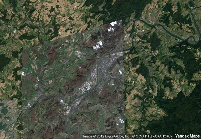
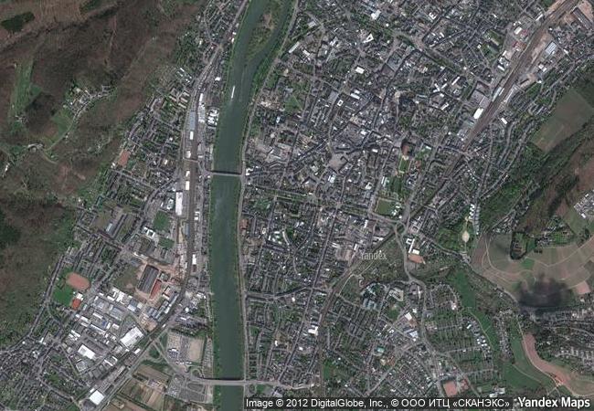
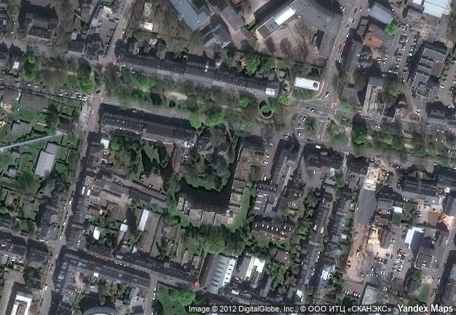
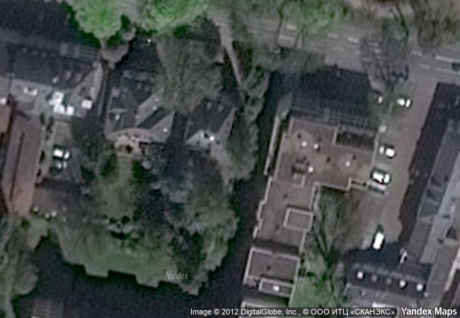
Roman Monuments, Cathedral of St Peter and Church of Our Lady in Trier

State of Rhineland-Palatinate (Rheinland-Pfalz)

6.432.36 km
☆
★★★★☆
0

Roman Monuments, Cathedral of St Peter and Church of Our Lady in Trier


State of Rhineland-Palatinate (Rheinland-Pfalz)
Identifier 367
states de
category cultural
criteria (i)(iii)(iv)(vi)
Title roman monuments, cathedral of st peter and church of our lady in trier
latitude 49.7500000000
longitude 6.6333332062
location state of rhineland-palatinate (rheinland-pfalz)
Region europe and north america
year 1986
unique number 420
description trier, which stands on the moselle river, was a roman colony from the 1st century ad and then a great trading centre beginning in the next century. it became one of the capitals of the tetrarchy at the end of the 3rd century, when it was known as the ‘second rome’. the number and quality of the surviving monuments are an outstanding testimony to roman civilization.
★
7.65 M
(1)

Germany
☆
392.8 K

Trier
www.X-X-X.NAME
49,75 ° × 6,63 °

49 ° 45 ′ 00 ″ N × 6 ° 38 ′ 60 ″ E
6.432.36 km

46 ° E>NE
Germany, State of Rhineland-Palatinate, Trier

Germany / State of Rhineland-Palatinate / Landkreis Trier-Saarburg / Trier
☆
Stone Town of Zanzibar

Zanzibar

12.729.05 km
☆
Verla Groundwood and Board Mill

Municipalities of Jaala and Valkeala, Region of Kymenlaakso, Province of Southern Finland

6.965.58 km
☆
Taos Pueblo

New Mexico

2.474.28 km
☆
Sanctuary of Asklepios at Epidaurus

Prefecture of Argolis, Region of the Peloponnesos

8.255.94 km
☆
Le Morne Cultural Landscape

Africa

15.249.25 km
☆
Historic City of Meknes

region centre sud, Wilaya de Meknes

6.288.28 km
☆
Archaeological Site of Olympia

Prefecture of Ilia, Region of West Greece in the Western Peloponnese

8.151.72 km
☆
Old Village of Hollókő and its Surroundings

County of Nógrád

7.353.86 km
☆
Susa

Asia and the Pacific

10.315.96 km
☆
Orkhon Valley Cultural Landscape

Orkhon-Kharkorin Region

10.394.16 km
☆
Le Havre, the City Rebuilt by Auguste Perret

Department of Seine-Maritime, Region of Haute-Normandie

6.008.26 km
☆
Madriu-Perafita-Claror Valley

Part of Communes of Encamp, Andorra la Vella, Saint Julia de Loria and Escaldes-Engordany

6.418.78 km

©

1 X ™


BRAND • COM • CORP • GLOBAL • INT

AAA • BASE • GRAND • HIGH • ORIGINAL • QUALITY • TOP • UNIQUE

™X-X-X•NAME
1 X ™ unesco
Info
Map
similar
language
▼ ▼ ▼
guest


1 X
™
-4
IP : America/New_York
-4
IP : America/New_York
▼ ▼ ▼
►
►