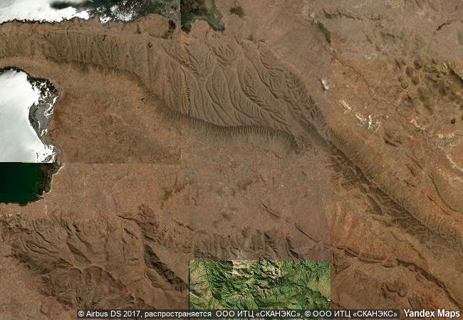
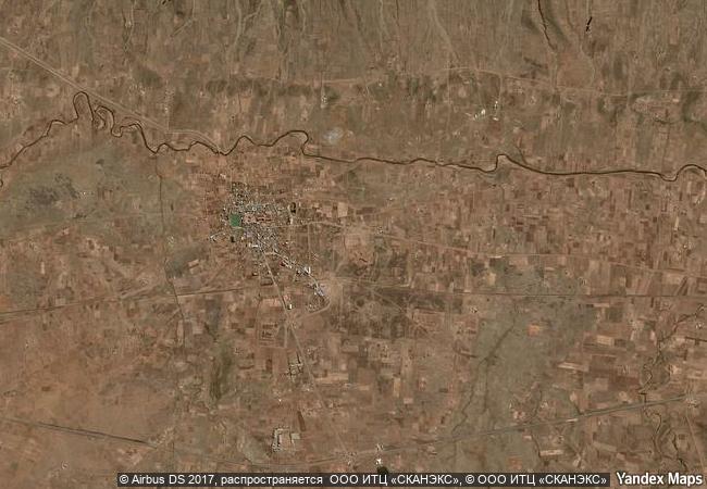
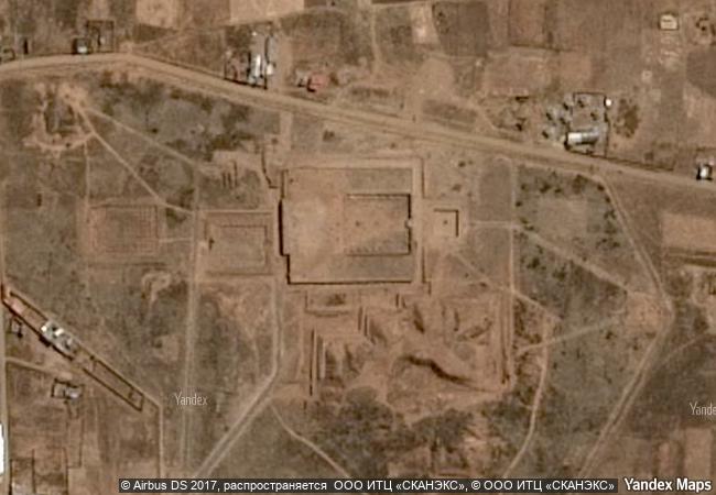
Tiwanaku: Spiritual and Political Centre of the Tiwanaku Culture
Province of Ingavi, Department of La Paz
|

|
Identifier |
567 |
|

|
states |
bo |
|

|
category |
cultural |
|

|
criteria |
(iii)(iv) |
|

|
Title |
tiwanaku: spiritual and political centre of the tiwanaku culture |
|

|
latitude |
-16.5550022125 |
|

|
longitude |
-68.6732788086 |
|

|
location |
province of ingavi, department of la paz |
|

|
Region |
latin america and the caribbean |
|

|
year |
2000 |
|

|
unique number |
670 |
|

|
description |
the city of tiwanaku, capital of a powerful pre-hispanic empire that dominated a large area of the southern andes and beyond, reached its apogee between 500 and 900 ad. its monumental remains testify to the cultural and political significance of this civilisation, which is distinct from any of the other pre-hispanic empires of the americas. |
|

|
justification |
criterion (iii): the ruins of tiwanaku bear striking witness to the power of the empire that played a leading role in the development of the andean prehispanic civilization.
criterion (iv): the buildings of tiwanaku are exceptional examples of the ceremonial and public architecture and art of one of the most important manifestations of the civilizations of the andean region. |
|


 0
0


 1 X ™ unesco
 Info
Info
 Map
Map
 similar
 language