xXx X 1 ™
⬤
unesco
⬤


☆
Historic Centre of Santa Cruz de Mompox

Bolívar Department

3.519.77 km
☆
★★★★☆
0

Historic Centre of Santa Cruz de Mompox


Bolívar Department
Identifier 742
states co
category cultural
criteria (iv)(v)
Title historic centre of santa cruz de mompox
latitude 9.2404918671
longitude -74.4230804443
location bolívar department
Region latin america and the caribbean
year 1995
unique number 876
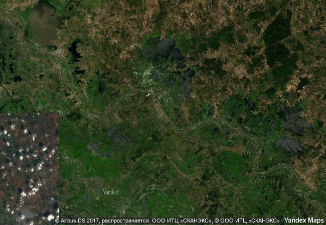
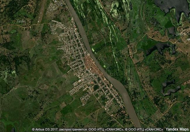
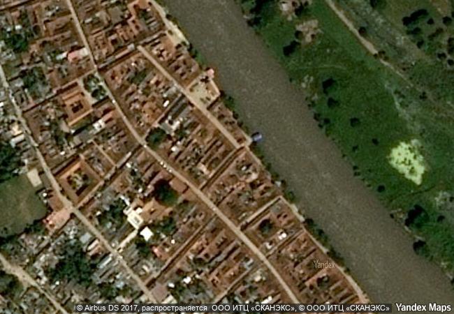
description founded in 1540 on the banks of the river magdalena, mompox played a key role in the spanish colonization of northern south america. from the 16th to the 19th century the city developed parallel to the river, with the main street acting as a dyke. the historic centre has preserved the harmony and unity of the urban landscape. most of the buildings are still used for their original purposes, providing an exceptional picture of what a spanish colonial city was like.
◆
5.17 M

Colombia

Santa Cruz de Mompox
www.X-X-X.NAME
9,24 ° × -74,42 °

9 ° 14 ′ 26 ″ N × 74 ° 25 ′ 23 ″ W
3.519.77 km

230 ° W>SW
Colombia, Bolivar, Santa Cruz de Mompox

Colombia / Bolivar / Santa Cruz de Mompox
☆
Bardejov Town Conservation Reserve

Town and District of Bardejov, Prešov Region

7.636.78 km
☆
Roman Walls of Lugo

Province of Lugo, Autonomous Community of Galicia

6.073.89 km
☆
Churches of Chiloé

Municipalities of Castro, Chonchi, Dalcahue, Puqueldón, Quemchi, and Quinchao, Chiloé Province, X Region de los Lagos

9.216.01 km
☆
Vilnius Historic Centre

City of Vilnius

7.489.65 km
☆
Lower Valley of the Awash

Afar region

11.897.77 km
☆
Wooden Churches of Maramureş

Districts of Bârsana, Budesti, Desesti, Ieud, Sisesti, Poienile Izei, Târgu-Lapus; Maramureş County, Region of Transylvania

7.898.77 km
☆
Iwami Ginzan Silver Mine and its Cultural Landscape

Shimane Prefecture, Ohda City District

10.911.95 km
☆
Cultural Landscape of Khinalig People and “Köç Yolu” Transhumance Route

Europe and North America

9.810.53 km
☆
Archaeological Site of Nalanda Mahavihara at Nalanda, Bihar

Asia and the Pacific

12.678.33 km
☆
Historic Centre of Évora

Province: Alentejo, District: Evora

6.261.96 km
☆
Cultural and Historic Ensemble of the Solovetsky Islands

Arkhangelsky region, Solovetsky district.

7.192.95 km
☆
Moravian Church Settlements

Europe and North America

6.601.52 km

©

1 X ™


BRAND • COM • CORP • GLOBAL • INT

AAA • BASE • GRAND • HIGH • ORIGINAL • QUALITY • TOP • UNIQUE

™X-X-X•NAME
1 X ™ unesco
Info
Map
similar
language
▼ ▼ ▼
guest


1 X
™
-5
IP : America/New_York
-5
IP : America/New_York
▼ ▼ ▼
►
►