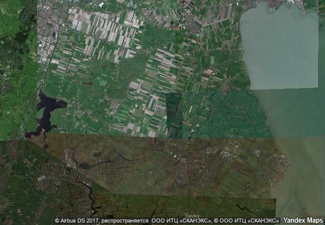
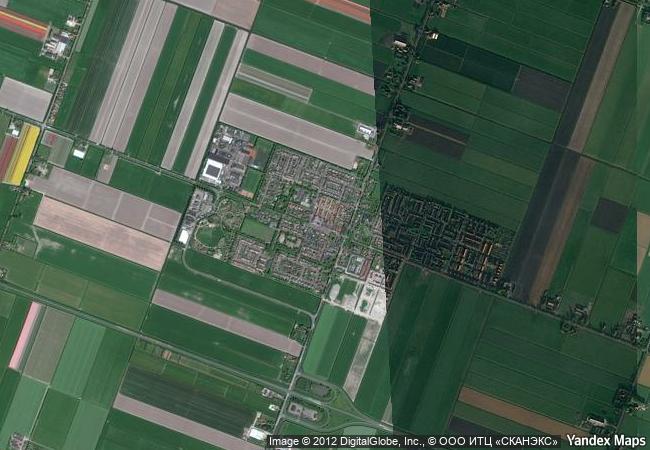
Droogmakerij de Beemster (Beemster Polder)
Province of Noord-Holland
|

|
Identifier |
899 |
|

|
states |
nl |
|

|
category |
cultural |
|

|
criteria |
(i)(ii)(iv) |
|

|
Title |
droogmakerij de beemster (beemster polder) |
|

|
latitude |
52.5488891602 |
|

|
longitude |
4.9111108780 |
|

|
location |
province of noord-holland |
|

|
Region |
europe and north america |
|

|
year |
1999 |
|

|
unique number |
1051 |
|

|
description |
the beemster polder, dating from the early 17th century, is is an exceptional example of reclaimed land in the netherlands. it has preserved intact its well-ordered landscape of fields, roads, canals, dykes and settlements, laid out in accordance with classical and renaissance planning principles. |
|

|
justification |
criterion (i): the beemster polder is a masterpiece of creative planning, in which the ideals of antiquity and the renaissance were applied to the design of a reclaimed landscape.
criterion (ii): the innovative and intellectually imaginative landscape of the beemster polder had a profound and lasting impact on reclamation projects in europe and beyond. criterion iv the creation of the beemster polder marks a major step forward in the interrelationship between humankind and water at a crucial period of social and economic expansion. |
|


 0
0


 1 X ™ unesco
 Info
Info
 Map
Map
 similar
 language