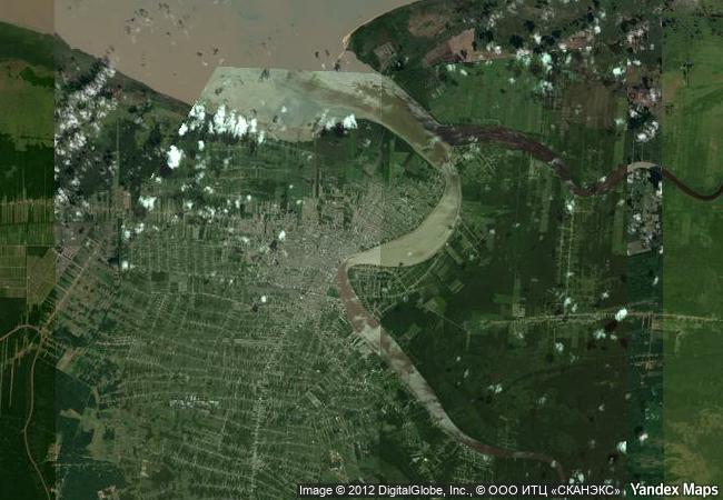
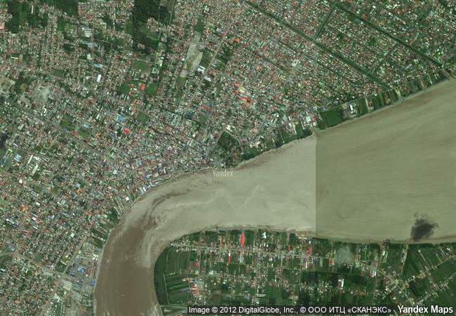
Historic Inner City of Paramaribo
District of Paramaribo
|

|
Identifier |
940 |
|

|
states |
sr |
|

|
category |
cultural |
|

|
criteria |
(ii)(iv) |
|

|
Title |
historic inner city of paramaribo |
|

|
latitude |
5.8261098862 |
|

|
longitude |
-55.1500015259 |
|

|
location |
district of paramaribo |
|

|
Region |
latin america and the caribbean |
|

|
year |
2002 |
|

|
unique number |
1096 |
|

|
description |
paramaribo is a former dutch colonial town from the 17th and 18th centuries planted on the northern coast of tropical south america. the original and highly characteristic street plan of the historic centre remains intact. its buildings illustrate the gradual fusion of dutch architectural influence with traditional local techniques and materials. |
|

|
justification |
criterion ii paramaribo is an exceptional example of the gradual fusion of european architecture and construction techniques with indigenous south america materials and crafts to create a new architectural idiom.
criterion iv paramaribo is a unique example of the contact between the european culture of the netherlands and the indigenous cultures and environment of south america in the years of intensive colonization of this region in the 16th and 17th centuries. |
|


 0
0


 1 X ™ unesco
 Info
Info
 Map
Map
 similar
 language