Ciudad Universitaria de Caracas
Municipality of Libertador, Caracas
|

|
Identifier |
986 |
|

|
states |
ve |
|

|
category |
cultural |
|

|
criteria |
(i)(iv) |
|

|
Title |
ciudad universitaria de caracas |
|

|
latitude |
10.4907302856 |
|

|
longitude |
-66.8906784058 |
|

|
location |
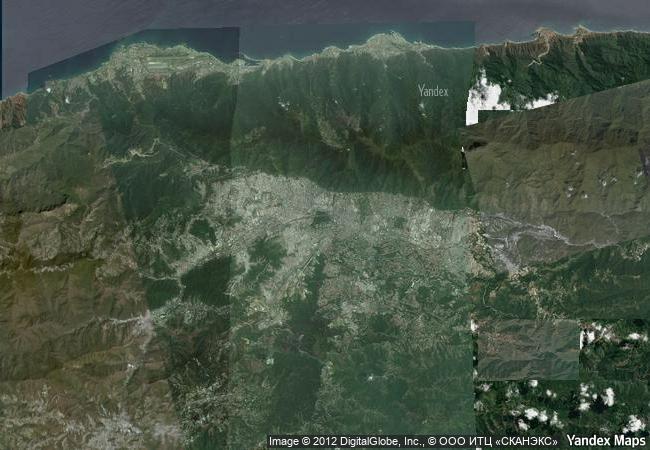
municipality of libertador, caracas |
|

|
Region |
latin america and the caribbean |
|

|
year |
2000 |
|

|
unique number |
1150 |
|

|
description |
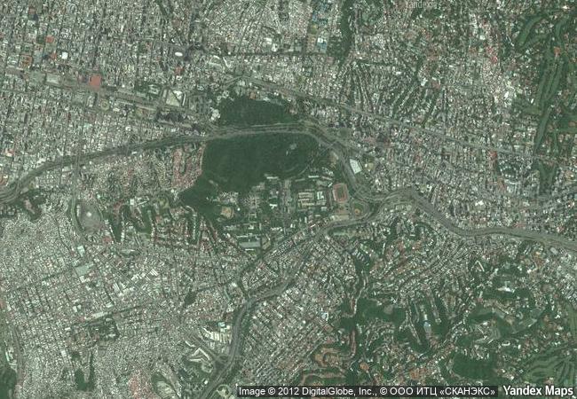
the ciudad universitaria de caracas, built to the design of the architect carlos raúl villanueva, between 1940 and 1960, is an outstanding example of the modern movement in architecture. the university campus integrates the large number of buildings and functions into a clearly articulated ensemble, including masterpieces of modern architecture and visual arts, such as the aula magna with the "clouds" of alexander calder, the olympic stadium, and the covered plaza. |
|

|
justification |
criterion i :the ciudad universitaria de caracas is a masterpiece of modern city planning, architecture and art, created by the venezuelan architect carlos raúl villanueva and a group of distinguished avant-garde artists.
criterion iv : the ciudad universitaria de caracas is an outstanding example of the coherent realization of the urban, architectural, and artistic ideals of the early 20th century. it constitutes an ingenious interpretation of the concepts and spaces of colonial traditions and an example of an open and ventilated solution, appropriate for its tropical environment. |
|


 0
0




 1 X ™ unesco
 Info
Info
 Map
Map
 similar
 language