1 X xXx ™
2
⬤
unesco
⬤


☆
Kinabalu Park

State of Sabah

14.776.58 km
☆
★★★★☆
0

Kinabalu Park


State of Sabah
Identifier 1012
states my
category natural
criteria (ix)(x)
Title kinabalu park
latitude 6.2500000000
longitude 116.5000000000
location state of sabah
Region asia and the pacific
year 2000
unique number 1182
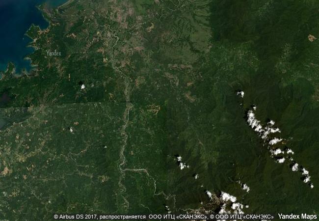
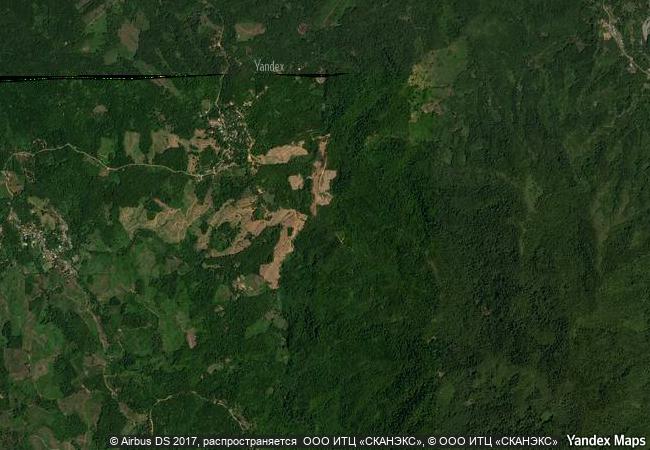
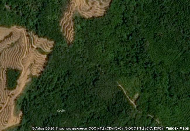
description kinabalu park, in the state of sabah on the northern end of the island of borneo, is dominated by mount kinabalu (4,095 m), the highest mountain between the himalayas and new guinea. it has a very wide range of habitats, from rich tropical lowland and hill rainforest to tropical mountain forest, sub-alpine forest and scrub on the higher elevations. it has been designated as a centre of plant diversity for southeast asia and is exceptionally rich in species with examples of flora from the himalayas, china, australia, malaysia, as well as pan-tropical flora.
justification criteria (ix) and (x): the site has a diverse biota and high endemism. the altitudinal and climatic gradient from tropical forest to alpine conditions combine with precipitous topography, diverse geology and frequent climate oscillations to provide conditions ideal for the development of new species. the park contains high biodiversity with representatives from more than half the families of all flowering plants. the majority of borneo’s mammals, birds, amphibians and invertebrates (many threatened and vulnerable) occur in the park.
★
6.72 M

Malaysia
www.X-X-X.NAME
6,25 ° × 116,5 °

6 ° 15 ′ 00 ″ N × 116 ° 30 ′ 00 ″ E
14.776.58 km

225 ° W>SW
Malaysia, Sabah

Malay Archipelago / Greater Sunda Islands / Borneo / Malaysia / Sabah
★
Redwood National and State Parks

California

3.910.55 km
☆
Noel Kempff Mercado National Park

Velasco Province, Santa Cruz Department

6.174.22 km
☆
Monarch Butterfly Biosphere Reserve

Latin America and the Caribbean

3.070.88 km
☆
Swiss Tectonic Arena Sardona

Cantons of Glarus, St. Gallen and Graubünden

6.743.14 km
☆
Durmitor National Park

Republic of Montenegro

7.617.09 km
☆
Cerrado Protected Areas: Chapada dos Veadeiros and Emas National Parks

Central Brazil Plateau, State of Goiás

6.660.96 km
☆
Plitvice Lakes National Park

Europe and North America

7.283.33 km
☆
Los Katíos National Park

Provinces of Antioquia and Choco’

3.473.86 km
☆
Islands and Protected Areas of the Gulf of California

States of Baja California, Baja California Sur, Sonora, Sinaloa, and Nayarit

3.469.26 km
☆
Saryarka – Steppe and Lakes of Northern Kazakhstan

Asia and the Pacific

9.547.06 km
☆
Pitons Management Area

near the town of Soufriere, southwestern region of St Lucia

3.235.34 km
☆
Comoé National Park

Northeast region, Bouna and Ferkessedougou prefectures, Bouna, Kong, Nassian and Tehin sub-prefectures

7.955.37 km

©

1 X ™


BRAND • COM • CORP • GLOBAL • INT

AAA • BASE • GRAND • HIGH • ORIGINAL • QUALITY • TOP • UNIQUE

™X-X-X•NAME
1 X ™ unesco
Info
Map
similar
language
▼ ▼ ▼
guest


1 X
™
-4
IP : America/New_York
-4
IP : America/New_York
▼ ▼ ▼
►
►