X 1 xXx
2
unesco


Los Alerces National Park

Latin America and the Caribbean

9.276.50 km
0

Los Alerces National Park


Identifier 1526
states ar
category natural
criteria (vii)(x)
Title los alerces national park
latitude -42.8527984619
longitude -71.8728027344
Region latin america and the caribbean
year 2017
unique number 2172
description 
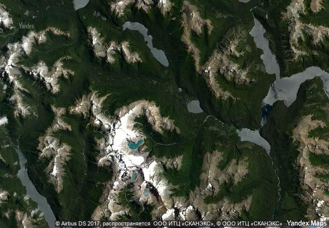
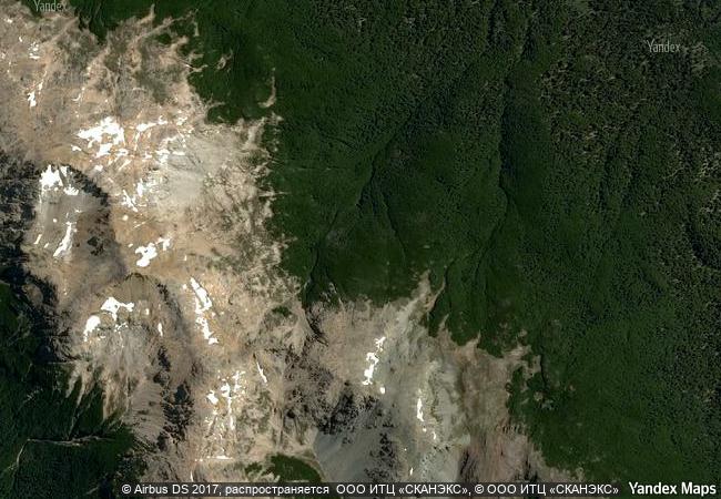
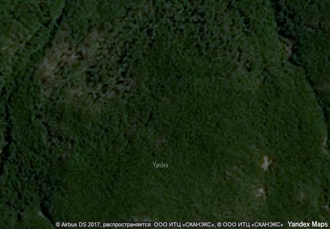
the los alerces national park is located in the andes of northern patagonia and its western boundary  coincides with the chilean border. successive glaciations have moulded the landscape in the region creating spectacular features such as moraines, glacial cirques and clear-water lakes. the vegetation is dominated by dense temperate forests, which give way to alpine meadows higher up under the rocky andean peaks. a highly distinctive and emblematic feature is its alerce forest; the globally threatened alerce tree is the second longest living tree species in the world (>3,600 years). the alerce forest in the property is in an excellent state of conservation. the property is vital for the protection of some of the last portions of continuous patagonian forest in an almost pristine state and is the habitat for a number of endemic and threatened species of flora and fauna.
9.81 M
(3)

Argentina
www.X-X-X.NAME
-42.8527984619 ° × -71.8728027344 °

42 ° 51 ′ 10 ″ S × 71 ° 52 ′ 22 ″ W
9.276.50 km

214 ° SW
Argentina, Chubut, Departamento de Futaleufú

Argentina / Andes / Chubut / Departamento de Futaleufú
Sanganeb Marine National Park and Dungonab Bay – Mukkawar Island Marine National Park

Arab States

10.958.53 km
Río Plátano Biosphere Reserve

Northeast of the country in the area known as the “Mosquitia Hondureña”

2.697.78 km
Taï National Park

Southwest region, Guiglo and Sassandra Districts

8.404.97 km
Sagarmatha National Park

Solu-Khumbu District of the Sagarmatha Zone

12.390.17 km
Landscapes of Dauria

Asia and the Pacific

9.858.20 km
Comoé National Park

Northeast region, Bouna and Ferkessedougou prefectures, Bouna, Kong, Nassian and Tehin sub-prefectures

8.431.61 km
Laurisilva of Madeira

Island of Madeira

5.830.19 km
Central Amazon Conservation Complex

State of Amazonas

5.166.43 km
Lord Howe Island Group

New South Wales

14.447.64 km
Tugay forests of the Tigrovaya Balka Nature Reserve

Asia and the Pacific

10.949.74 km
Mount Nimba Strict Nature Reserve

Région de Lola

8.156.05 km
Migratory Bird Sanctuaries along the Coast of Yellow Sea-Bohai Gulf of China

Asia and the Pacific

11.659.93 km

©

1 X ™


BRAND COM CORP GLOBAL INT

AAA BASE GRAND HIGH ORIGINAL QUALITY TOP UNIQUE

X-X-X•NAME
1 X ™ unesco
Info
Map
similar
language
guest


1 X
-4
IP : America/New_York
-4
IP : America/New_York