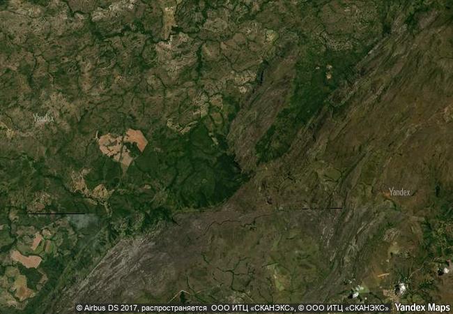
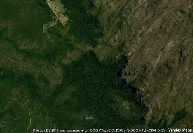
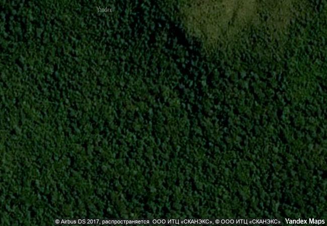
Cerrado Protected Areas: Chapada dos Veadeiros and Emas National Parks
Central Brazil Plateau, State of Goiás
|

|
Identifier |
1035 |
|

|
states |
br |
|

|
category |
natural |
|

|
criteria |
(ix)(x) |
|

|
Title |
cerrado protected areas: chapada dos veadeiros and emas national parks |
|

|
latitude |
-14.0056943893 |
|

|
longitude |
-47.6846122742 |
|

|
location |
central brazil plateau, state of goiás |
|

|
Region |
latin america and the caribbean |
|

|
year |
2001 |
|

|
unique number |
2363 |
|

|
description |
the two sites included in the designation contain flora and fauna and key habitats that characterize the cerrado – one of the world’s oldest and most diverse tropical ecosystems. for millennia, these sites have served as refuge for several species during periods of climate change and will be vital for maintaining the biodiversity of the cerrado region during future climate fluctuations. |
|

|
justification |
criterion (ix): cpa has played a key role for millenia in maintaining the biodiversity of the cerrado ecoregion. due it its central location and altidudinal variation, it has acted as a relatively stable species refuge when climate change has caused the cerrado to move north-south or east-west. this role as a species refuge is ongoing as earth enters another period of climate change.
criterion (x): cas contains samples of all key habitats that characterise the cerrado ecoregion – one of earth’s oldest tropical ecosystems. it contains over 60% of all floral species and almost 80% of all vertebrate species described for the cerrado. with the exception of the giant otter, all of the cerrado’s endangered large mammals occur in the site. in addition, the site supports many rare small mammals and bird species that do not occur elsewhere in the cerrado and a number of species new to science have been discovered in cpa. |
|


 0
0


 1 X ™ unesco
 Info
Info
 Map
Map
 similar
 language