X 1 xXx
3
unesco


Vredefort Dome

Northwest and Free State provinces

13.544.16 km
0

Vredefort Dome


Northwest and Free State provinces
Identifier 1162
states za
category natural
criteria (viii)
Title vredefort dome
latitude -26.8600006104
longitude 27.2600002289
location northwest and free state provinces
Region africa
year 2005
unique number 1342
description 
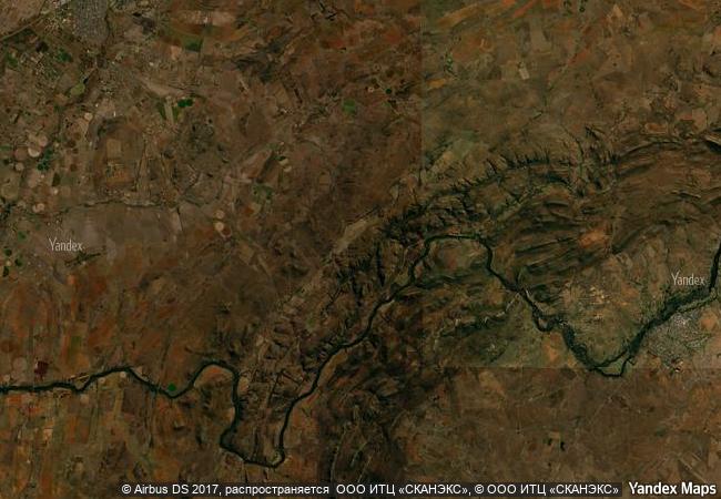
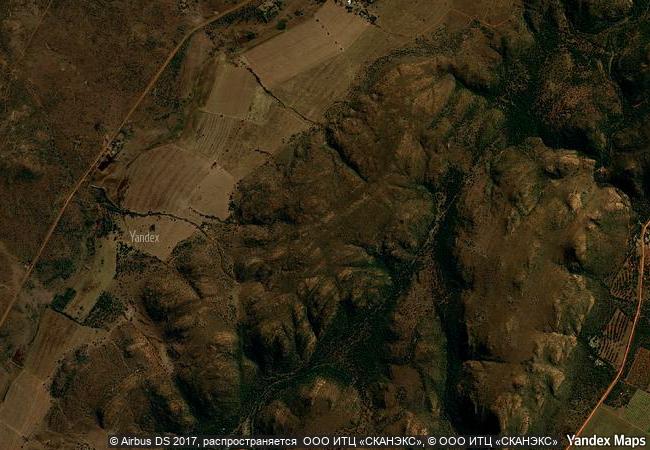
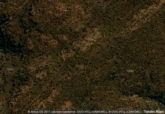
vredefort dome, approximately 120 km south-west of johannesburg, is a representative part of a larger meteorite impact structure, or astrobleme. dating back 2,023 million years, it is the oldest astrobleme yet found on earth. with a radius of 190 km, it is also the largest and the most deeply eroded. vredefort dome bears witness to the world’s greatest known single energy release event, which had devastating global effects including, according to some scientists, major evolutionary changes. it provides critical evidence of the earth’s geological history and is crucial to understanding of the evolution of the planet. despite the importance of impact sites to the planet’s history, geological activity on the earth’s surface has led to the disappearance of evidence from most of them, and vredefort is the only example to provide a full geological profile of an astrobleme below the crater floor.
justification criterion (viii): vredefort dome is the oldest, largest, and most deeply eroded complex meteorite impact structure in the world. it is the site of the world’s greatest single, known energy release event. it contains high quality and accessible geological (outcrop) sites which demonstrate a range of geological evidences of a complex meteorite impact structure. the rural and natural landscapes of the serial property help portray the magnitude of the ring structures resulting from the impact. the serial nomination is considered to be a representative sample of a complex meteorite impact structure. a comprehensive comparative analysis with other complex meteorite impact structures demonstrated that it is the only example on earth providing a full geological profile of an astrobleme below the crater floor, thereby enabling research into the genesis and development of an astrobleme immediately post impact.
8.5 M

Republic of South Africa
www.X-X-X.NAME
-26,86 ° × 27,26 °

26 ° 52 ′ 36 ″ S × 27 ° 16 ′ 36 ″ E
13.544.16 km

5 ° N>NE
Republic of South Africa, North West Province

Republic of South Africa / North West Province
Jeju Volcanic Island and Lava Tubes

Asia and the Pacific

11.297.05 km
Lut Desert

Asia and the Pacific

11.274.64 km
Okapi Wildlife Reserve

Orientale Province

11.672.70 km
Ivindo National Park

Africa

10.459.39 km
Djoudj National Bird Sanctuary

Delta of the River Senegal

6.879.35 km
Teide National Park

Canary Island, Santa Cruz de Tenerife

6.105.63 km
Sangay National Park

Provinces of Morona Santiago, Chimborazo and Tungurahua

4.671.77 km
Doñana National Park

Provinces of Huelva and Sevilla, Autonomous Community of Andalusia

6.467.20 km
Yakushima

Kamiyaku-cho and Yaku-cho, Kumage-gun Kagoshima Prefecture

11.469.48 km
Canadian Rocky Mountain Parks

Provinces of British Columbia and Alberta

2.861.96 km
Monte San Giorgio

Europe and North America

7.081.62 km
Monarch Butterfly Biosphere Reserve

Latin America and the Caribbean

2.797.63 km

©

1 X ™


BRAND COM CORP GLOBAL INT

AAA BASE GRAND HIGH ORIGINAL QUALITY TOP UNIQUE

X-X-X•NAME
1 X ™ unesco
Info
Map
similar
language
guest


1 X
-4
IP : America/New_York
-4
IP : America/New_York