Sacri Monti of Piedmont and Lombardy
Regions of Lombardy and Piedmont
|

|
Identifier |
1068 |
|

|
states |
it |
|

|
category |
cultural |
|

|
criteria |
(ii)(iv) |
|

|
Title |
sacri monti of piedmont and lombardy |
|

|
latitude |
45.9745559692 |
|

|
longitude |
9.1695556641 |
|

|
location |
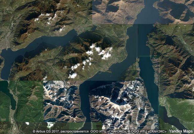
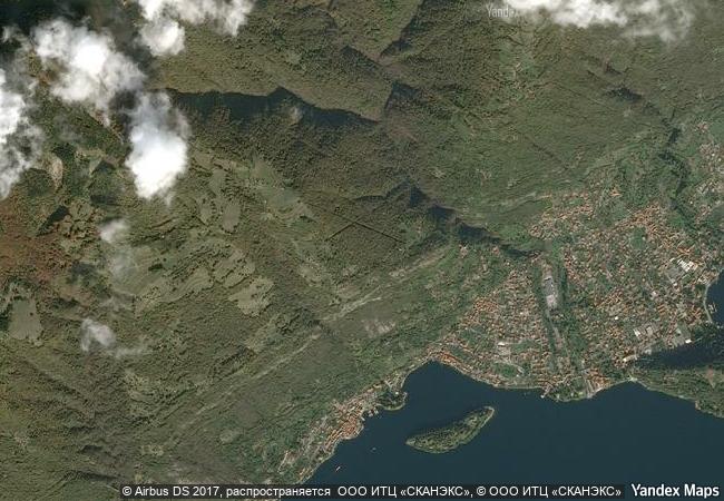
regions of lombardy and piedmont |
|

|
Region |
europe and north america |
|

|
year |
2003 |
|

|
unique number |
1245 |
|

|
description |
the nine sacri monti (sacred mountains) of northern italy are groups of chapels and other architectural features created in the late 16th and 17th centuries and dedicated to different aspects of the christian faith. in addition to their symbolic spiritual meaning, they are of great beauty by virtue of the skill with which they have been integrated into the surrounding natural landscape of hills, forests and lakes. they also house much important artistic material in the form of wall paintings and statuary. |
|

|
justification |
criterion (ii): the implantation of architecture and sacred art into a natural landscape for didactic and spiritual purposes achieved its most exceptional expression in the sacri monti (‘sacred mountains’) of northern italy and had a profound influence on subsequent developments elsewhere in europe.
criterion (iv): the sacri monti (‘sacred mountains’) of northern italy represent the successful integration of architecture and fine art into a landscape of great beauty for spiritual reasons at a critical period in the history of the roman catholic church. |
|

|
revision |
1 |
|


 0




 1 X ™ unesco
 Info
 Map
 similar
 language