X 1 xXx ™
5
⬤
unesco
⬤


☆
The works of Jože Plečnik in Ljubljana – Human Centred Urban Design

Europe and North America

7.435.25 km
☆
★★★★☆
0

The works of Jože Plečnik in Ljubljana – Human Centred Urban Design


Identifier 1643
states si
category cultural
criteria (iv)
Title the works of jože plečnik in ljubljana – human centred urban design
latitude 46.0433311462
longitude 14.5022220612
Region europe and north america
year 2021
unique number 2516
description the works jože plečnik carried in ljubljana between world war i and world war ii present an example of a human centred urban design that successively changed the identity of the city following the dissolution of the austro-hungarian empire, when it changed from a provincial city into the symbolic capital of the slovenian people. the architect jože plečnik contributed to this transformation with his personal, profoundly human vision for the city, based on an architectural dialogue with the older city while serving the needs of emerging modern 20th century society. the property consists of a series of public spaces (squares, parks, streets, promenades, bridges) and public institutions (national library, churches, markets, funerary complex) that were sensitively integrated into the pre-existing urban, natural and cultural context and contributed to the city’s new identity. this highly contextual and human-scale urbanistic approach, as well as plečnik’s distinctive architectural idiom, stand apart from the other predominant modernist principles of his time. it is an exceptional case of creating public spaces, buildings and green areas according to the vision of a single architect within a limited time, the limited space of an existing city, and with relatively limited resources.
☆
4.82 M

Slovenia
☆
448.5 K

Ljubljana
www.X-X-X.NAME
46,04 ° × 14,50 °

46 ° 03 ′ 36 ″ N × 14 ° 30 ′ 08 ″ E
7.435.25 km

176 ° S
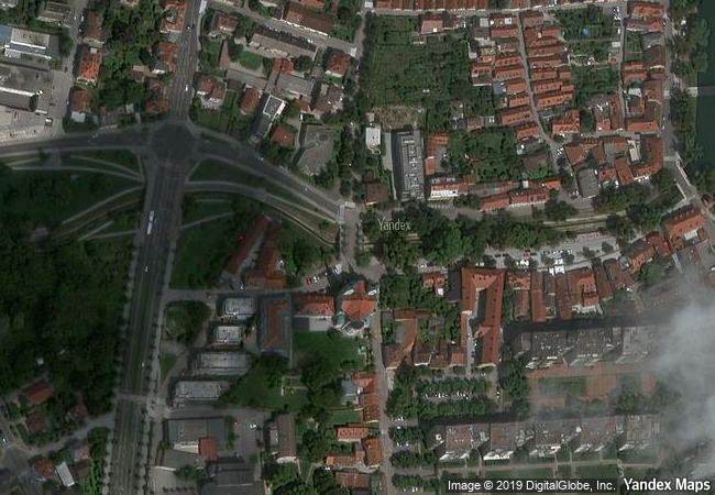
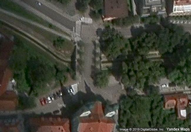
Slovenia, Ljubljana, Kolezijska ulica

Dinaric Alps / Slovenia / Ljubljana / Trnovo / Kolezijska ulica
☆
Island of Mozambique

Ilha de Mocambique District, Nampula Province

13.931.48 km
☆
Golestan Palace

Asia and the Pacific

10.397.58 km
☆
Semmering Railway

Between Gloggnitz, State of Lower Austria and Simmering, State of Styria

7.417.74 km
☆
Lower Valley of the Omo

Southern Nation Nationalities & Peoples Region

12.056.97 km
☆
Bourges Cathedral

Department of Cher, Centre Region

6.581.45 km
☆
Historic Centres of Berat and Gjirokastra

Europe and North America

8.198.67 km
☆
Völklingen Ironworks

State of Saarland

6.760.37 km
☆
Dilmun Burial Mounds

Arab States

11.229.84 km
☆
Buddhist Monuments in the Horyu-ji Area

Nara Prefecture

10.820.40 km
☆
Rice Terraces of the Philippine Cordilleras

Ifugao Province, Cordillera Region, Luzon Island

13.212.54 km
☆
Town of Luang Prabang

Province of Luang Prabang

13.339.06 km
☆
Complex of Koguryo Tombs

Pyongyang, South Phyongan Province, Nampho, South Hwangghae Province

10.786.51 km

©

1 X ™


BRAND • COM • CORP • GLOBAL • INT

AAA • BASE • GRAND • HIGH • ORIGINAL • QUALITY • TOP • UNIQUE

™X-X-X•NAME
1 X ™ unesco
Info
Map
similar
language
▼ ▼ ▼
guest


1 X
™
-5
IP : America/New_York
-5
IP : America/New_York
▼ ▼ ▼
►
►