Orkhon Valley Cultural Landscape
Orkhon-Kharkorin Region
|

|
Identifier |
1081 |
|

|
states |
mn |
|

|
category |
cultural |
|

|
criteria |
(ii)(iii)(iv) |
|

|
Title |
orkhon valley cultural landscape |
|

|
latitude |
47.4792137146 |
|

|
longitude |
102.6784820557 |
|

|
location |
orkhon-kharkorin region |
|

|
Region |
asia and the pacific |
|

|
year |
2004 |
|

|
unique number |
1259 |
|

|
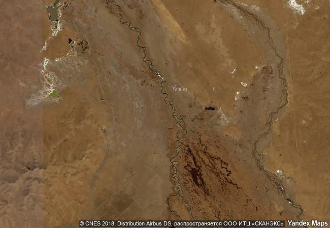
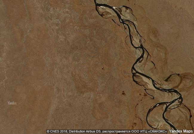
description |
the 121,967-ha orkhon valley cultural landscape encompasses an extensive area of pastureland on both banks of the orkhon river and includes numerous archaeological remains dating back to the 6th century. the site also includes kharkhorum, the 13th- and 14th-century capital of chingis (genghis) khan’s vast empire. collectively the remains in the site reflect the symbiotic links between nomadic, pastoral societies and their administrative and religious centres, and the importance of the orkhon valley in the history of central asia. the grassland is still grazed by mongolian nomadic pastoralists. |
|

|
justification |
criterion (ii): the orkhon valley clearly demonstrates how a strong and persistent nomadic culture, led to the development of extensive trade networks and the creation of large administrative, commercial, military and religious centres. the empires that these urban centres supported undoubtedly influenced societies across asia and into europe and in turn absorbed influence from both east and west in a true interchange of human values.
criterion (iii): underpinning all the development within the orkhon valley for the past two millennia has been a strong culture of nomadic pastoralism. this culture is still a revered and indeed central part of mongolian society and is highly respected as a ‘noble’ way to live in harmony with the landscape.
criterion (iv): the orkhon valley is an outstanding example of a valley that illustrates several significant stages in human history. first and foremost it was the centre of the mongolian empire; secondly it reflects a particular mongolian variation of turkish power; thirdly, the tuvkhun hermitage monastery was the setting for the development of a mongolian form of buddhism; and fourthly, khar balgas, reflects the uighur urban culture in the capital of the uighur empire. |
|


 0
0


 1 X ™ unesco
 Info
Info
 Map
Map
 similar
 language