Mapungubwe Cultural Landscape
Northern Province
|

|
Identifier |
1099 |
|

|
states |
za |
|

|
category |
cultural |
|

|
criteria |
(ii)(iii)(iv)(v) |
|

|
Title |
mapungubwe cultural landscape |
|

|
latitude |
-22.1924991608 |
|

|
longitude |
29.2388896942 |
|

|
location |
northern province |
|

|
Region |
africa |
|

|
year |
2003 |
|

|
unique number |
2061 |
|

|
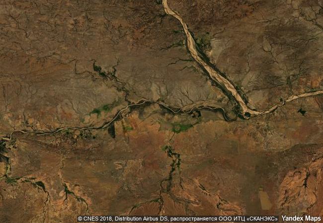
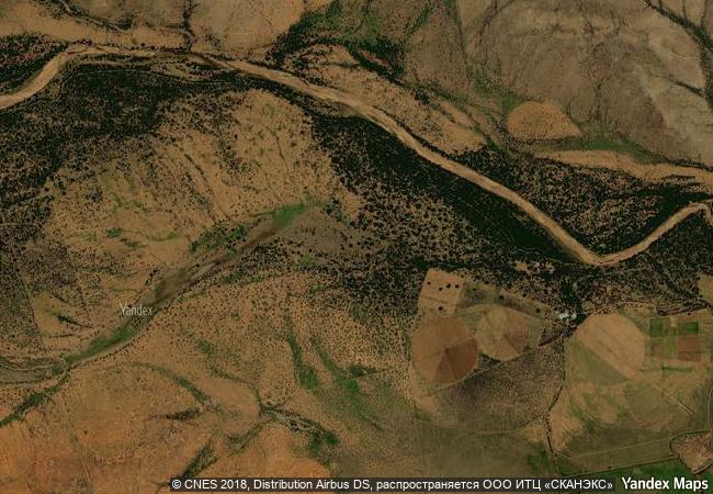
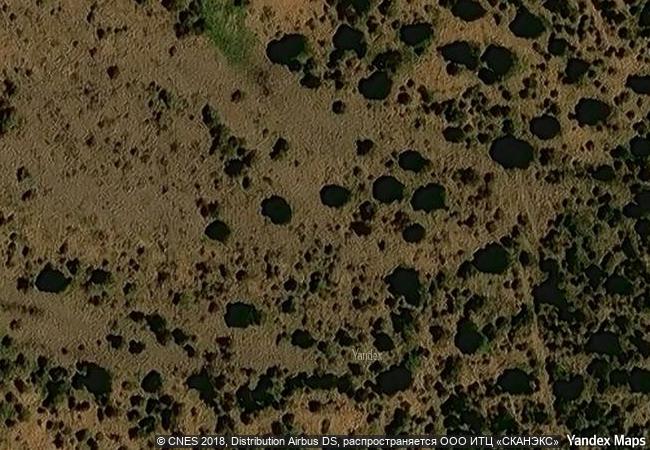
description |
mapungubwe is set hard against the northern border of south africa, joining zimbabwe and botswana. it is an open, expansive savannah landscape at the confluence of the limpopo and shashe rivers. mapungubwe developed into the largest kingdom in the sub-continent before it was abandoned in the 14th century. what survives are the almost untouched remains of the palace sites and also the entire settlement area dependent upon them, as well as two earlier capital sites, the whole presenting an unrivalled picture of the development of social and political structures over some 400 years. |
|

|
justification |
criterion (ii): the mapungubwe cultural landscape contains evidence for an important interchange of human values that led to far-reaching cultural and social changes in southern africa between ad 900 and 1300. criterion (iii): the remains in the mapungubwe cultural landscape are a remarkably complete testimony to the growth and subsequent decline of the mapungubwe state which at its height was the largest kingdom in the african sub-continent. criterion (iv): the establishment of mapungubwe as a powerful state trading through the east african ports with arabia and india was a significant stage in the history of the african sub-continent. criterion (v) : the remains in the mapungubwe cultural landscape graphically illustrate the impact of climate change and record the growth and then decline of the kingdom of mapungubwe as a clear record of a culture that became vulnerable to irreversible change. |
|


 0
0


 1 X ™ unesco
 Info
Info
 Map
Map
 similar
 language