Rock Shelters of Bhimbetka
Madhya Pradesh
|

|
Identifier |
925 |
|

|
states |
in |
|

|
category |
cultural |
|

|
criteria |
(iii)(v) |
|

|
Title |
rock shelters of bhimbetka |
|

|
latitude |
22.9277782440 |
|

|
longitude |
77.5833358765 |
|

|
location |
madhya pradesh |
|

|
Region |
asia and the pacific |
|

|
year |
2003 |
|

|
unique number |
1079 |
|

|
description |
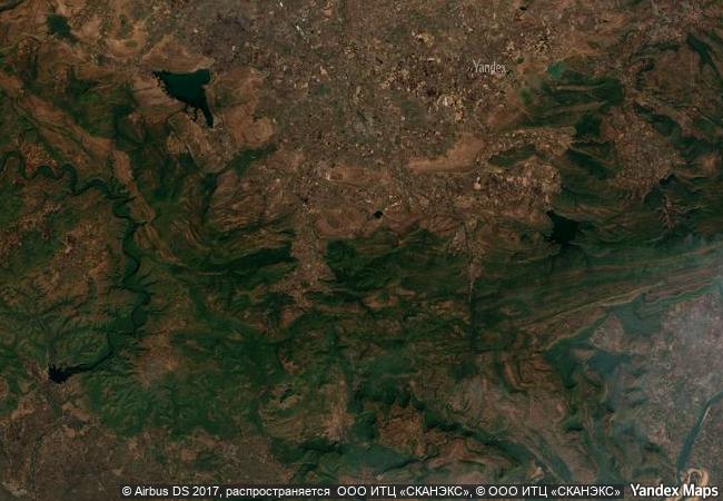
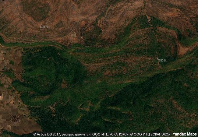
the rock shelters of bhimbetka are in the foothills of the vindhyan mountains on the southern edge of the central indian plateau. within massive sandstone outcrops, above comparatively dense forest, are five clusters of natural rock shelters, displaying paintings that appear to date from the mesolithic period right through to the historical period. the cultural traditions of the inhabitants of the twenty-one villages adjacent to the site bear a strong resemblance to those represented in the rock paintings. |
|

|
justification |
criterion (iii): bhimbetka reflects a long interaction between people and the landscape, as demonstrated in the quantity and quality of its rock art. criterion (v): bhimbetka is closely associated with a hunting and gathering economy as demonstrated in the rock art and in the relicts of this tradition in the local adivasi villages on the periphery of this site. |
|


 0
0


 1 X ™ unesco
 Info
Info
 Map
Map
 similar
 language