Incense Route - Desert Cities in the Negev
Negev Region
|

|
Identifier |
1107 |
|

|
states |
il |
|

|
category |
cultural |
|

|
criteria |
(iii)(v) |
|

|
Title |
incense route - desert cities in the negev |
|

|
latitude |
30.5738887787 |
|

|
longitude |
35.0091667175 |
|

|
location |
negev region |
|

|
Region |
europe and north america |
|

|
year |
2005 |
|

|
unique number |
1286 |
|

|
description |
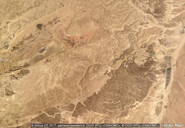
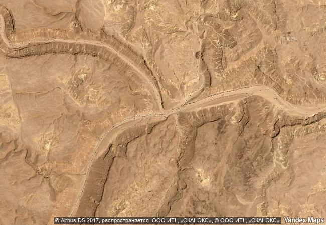
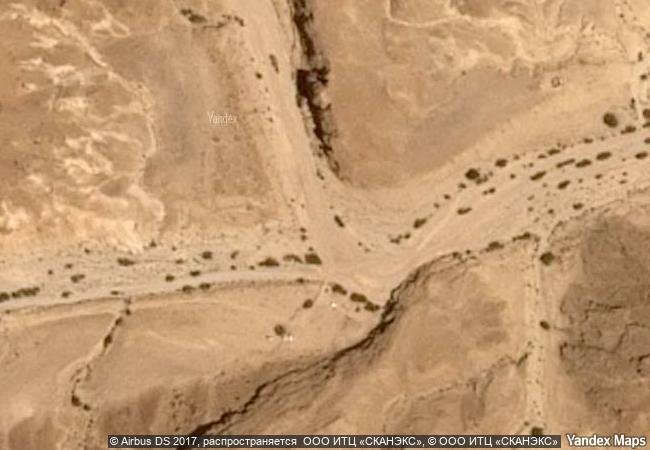
the four nabatean towns of haluza, mamshit, avdat and shivta, along with associated fortresses and agricultural landscapes in the negev desert, are spread along routes linking them to the mediterranean end of the incense and spice route. together they reflect the hugely profitable trade in frankincense and myrrh from south arabia to the mediterranean, which flourished from the 3rd century bc until the 2nd century ad. with the vestiges of their sophisticated irrigation systems, urban constructions, forts and caravanserai, they bear witness to the way in which the harsh desert was settled for trade and agriculture. |
|

|
justification |
criterion (iii): the nabatean towns and their trade routes bear eloquent testimony to the economic, social and cultural importance of frankincense to the hellenistic-roman world. the routes also provided a means of passage not only for frankincense and other trade goods but also for people and ideas.
criterion (v): the almost fossilised remains of towns, forts, caravanserai and sophisticated agricultural systems strung out along the incense route in the negev desert, display an outstanding response to a hostile desert environment and one that flourished for five centuries. |
|


 0
0




 1 X ™ unesco
 Info
Info
 Map
Map
 similar
 language