X 1 xXx ™
1
⬤
unesco
⬤


☆
Gaya Tumuli

Asia and the Pacific

11.038.53 km
☆
★★★★☆
0

Gaya Tumuli


Identifier 1666
states kr
category cultural
criteria (iii)
Title gaya tumuli
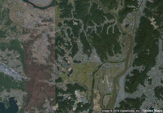
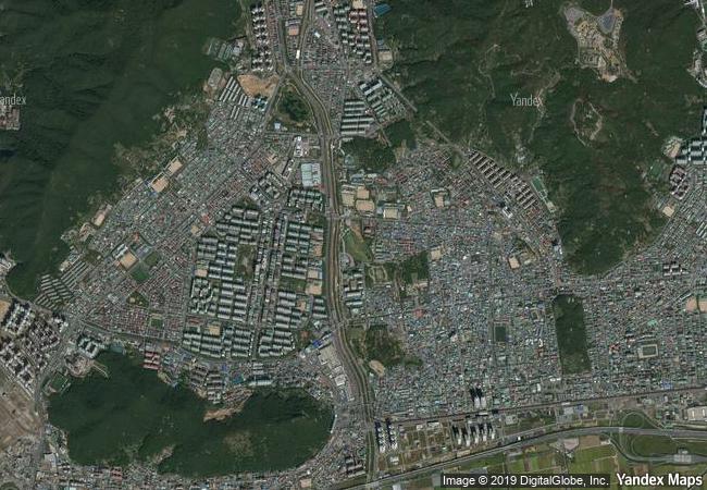
latitude 35.2372627258
longitude 128.8737182617
Region asia and the pacific
year 2023
unique number 2432
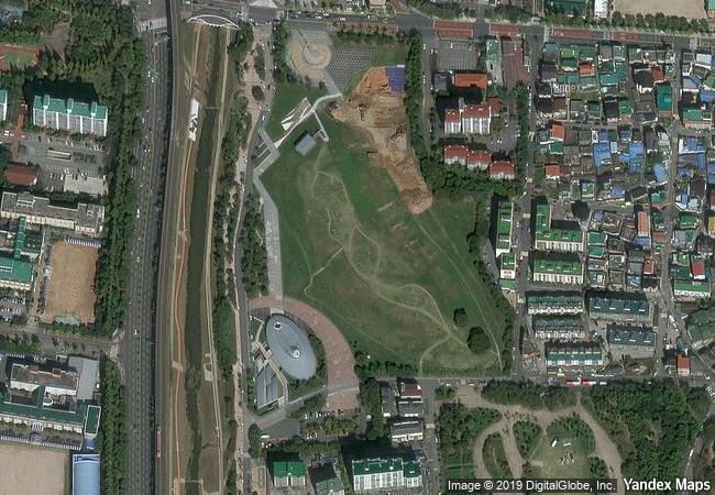
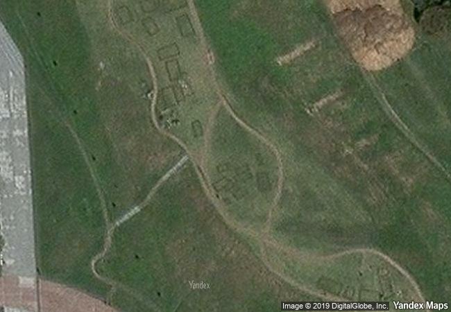
description this serial property includes archaeological cemetery sites with burial mounds attributed to the gaya confederacy, which developed in the southern part of the korean peninsula from the 1st to the 6th century ce. through their geographical distribution and landscape characteristics, types of burials, and grave goods, the cemeteries attest to the distinctive gaya political system in which polities existed as autonomous political equals while sharing cultural commonalities. the introduction of new forms of tombs and the intensification of the spatial hierarchy in the tumuli sites reflect the structural changes experienced by gaya society during its history.
☆
3.4 M
(1)

South Korea

Gimhae
www.X-X-X.NAME
35,23 ° × 128,87 °

35 ° 14 ′ 14 ″ N × 128 ° 52 ′ 25 ″ E
11.038.53 km

69 ° E
Republic of Korea, South Gyeongsang Province, Gimhae

Republic of Korea / South Gyeongsang Province / Gimhae
☆
Roman Theatre and its Surroundings and the "Triumphal Arch" of Orange

Department of Vacluse, Region of Provence-Alpes-Côte-d’Azur

6.902.70 km
☆
Dholavira: a Harappan City

Asia and the Pacific

12.391.74 km
☆
Palestine: Land of Olives and Vines – Cultural Landscape of Southern Jerusalem, Battir

Arab States

9.816.78 km
☆
Fort and Shalamar Gardens in Lahore

Lahore, Punjab

11.722.57 km
☆
Ellora Caves

Maharashtra State, Aurangabad District, Khulatabad Taluk , Verul Village

12.971.46 km
☆
Soltaniyeh

Zanjan province

10.195.93 km
☆
Old Bridge Area of the Old City of Mostar

Herzegovina-Neretva Canton

7.823.29 km
☆
Rangiri Dambulla Cave Temple

Central Province, Matale District

14.438.88 km
☆
Sacred City of Kandy

Central Province

14.498.67 km
☆
Chongoni Rock-Art Area

Dedza District, Central Region

13.335.88 km
☆
Prehistoric Caves of Yagul and Mitla in the Central Valley of Oaxaca

Latin America and the Caribbean

2.867.29 km
☆
Madara Rider

Village of Madara, Province of Shumen

8.408.69 km

©

1 X ™


BRAND • COM • CORP • GLOBAL • INT

AAA • BASE • GRAND • HIGH • ORIGINAL • QUALITY • TOP • UNIQUE

™X-X-X•NAME
1 X ™ unesco
Info
Map
similar
language
▼ ▼ ▼
guest


1 X
™
-4
IP : America/New_York
-4
IP : America/New_York
▼ ▼ ▼
►
►