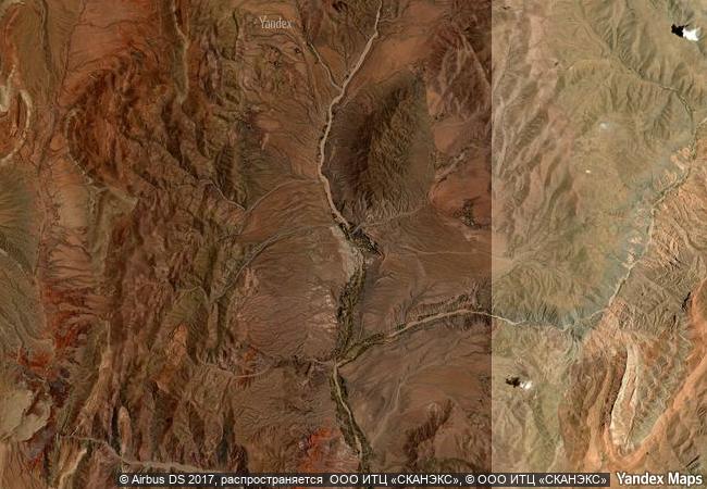
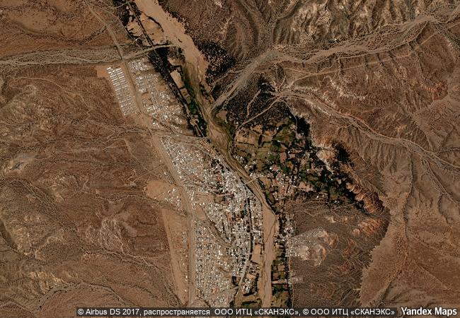
Quebrada de Humahuaca
Province of Juyuy
|

|
Identifier |
1116 |
|

|
states |
ar |
|

|
category |
cultural |
|

|
criteria |
(ii)(iv)(v) |
|

|
Title |
quebrada de humahuaca |
|

|
latitude |
-23.1998615265 |
|

|
longitude |
-65.3488616943 |
|

|
location |
province of juyuy |
|

|
Region |
latin america and the caribbean |
|

|
year |
2003 |
|

|
unique number |
1295 |
|

|
description |
quebrada de humahuaca follows the line of a major cultural route, the camino inca, along the spectacular valley of the rio grande, from its source in the cold high desert plateau of the high andean lands to its confluence with the rio leone some 150 km to the south. the valley shows substantial evidence of its use as a major trade route over the past 10,000 years. it features visible traces of prehistoric hunter-gatherer communities, of the inca empire (15th to 16th centuries) and of the fight for independence in the 19th and 20th centuries. |
|

|
justification |
criterion (ii): the quebrada de humahuaca valley has been used over the past 10,000 years as a crucial passage for the transport of people and ideas from the high andean lands to the plains.
criteria (iv) and (v): the quebrada de humahuaca valley reflects the way its strategic position has engendered settlement, agriculture and trade. its distinctive pre-hispanic and pre-incan settlements, as a group with their associated field systems, form a dramatic addition to the landscape and one that can certainly be called outstanding. |
|


 0
0


 1 X ™ unesco
 Info
Info
 Map
Map
 similar
 language