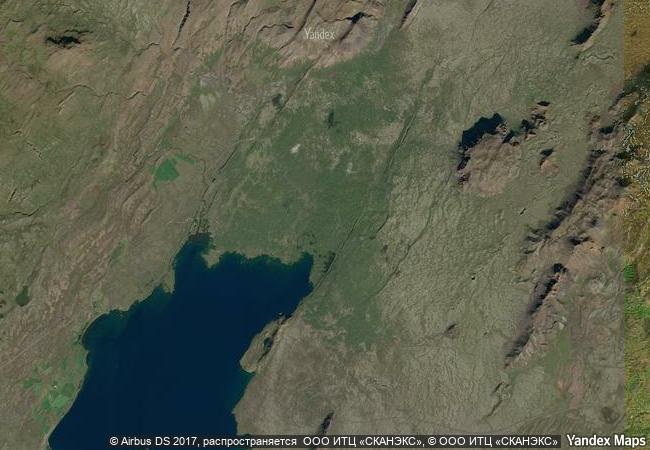
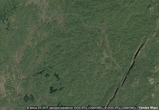
Þingvellir National Park
Bláskógabyggð municipality, district of Arnessysla
|

|
Identifier |
1152 |
|

|
states |
is |
|

|
category |
cultural |
|

|
criteria |
(iii)(vi) |
|

|
Title |
þingvellir national park |
|

|
latitude |
64.2538070679 |
|

|
longitude |
-21.0372505188 |
|

|
location |
bláskógabyggð municipality, district of arnessysla |
|

|
Region |
europe and north america |
|

|
year |
2004 |
|

|
unique number |
1333 |
|

|
description |
þingvellir (thingvellir) is the national park where the althing, an open-air assembly representing the whole of iceland, was established in 930 and continued to meet until 1798. over two weeks a year, the assembly set laws - seen as a covenant between free men - and settled disputes. the althing has deep historical and symbolic associations for the people of iceland. the property includes the þingvellir national park and the remains of the althing itself: fragments of around 50 booths built from turf and stone. remains from the 10th century are thought to be buried underground. the site also includes remains of agricultural use from the 18th and 19th centuries. the park shows evidence of the way the landscape was husbanded over 1,000 years. |
|

|
justification |
criterion (iii): the althing and its hinterland, the þingvellir national park, represent, through the remains of the assembly ground, the booths for those who attended, and through landscape evidence of settlement extending back possibly to the time the assembly was established, a unique reflection of mediaeval norse/germanic culture and one that persisted in essence from its foundation in 980 ad until the 18th century.
criterion (vi): pride in the strong association of the althing to mediaeval germanic/norse governance, known through the 12th century icelandic sagas, and reinforced during the fight for independence in the 19th century, have, together with the powerful natural setting of the assembly grounds, given the site iconic status as a shrine for the national. |
|


 0
0


 1 X ™ unesco
 Info
Info
 Map
Map
 similar
 language