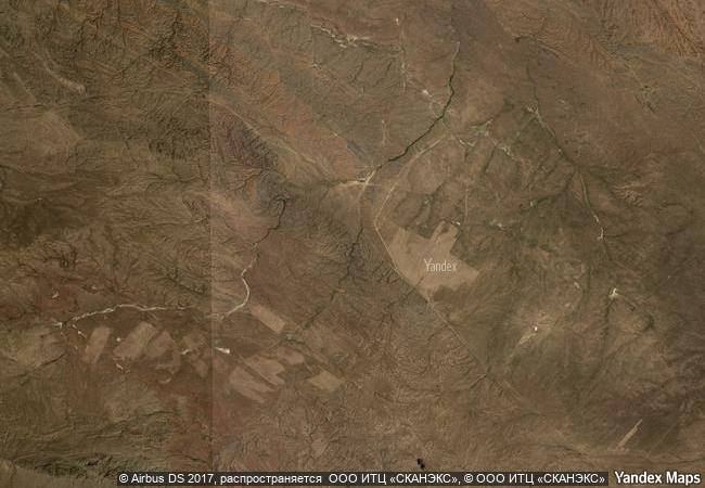
Petroglyphs of the Archaeological Landscape of Tanbaly
Almaty Oblast
|

|
Identifier |
1145 |
|

|
states |
kz |
|

|
category |
cultural |
|

|
criteria |
(iii) |
|

|
Title |
petroglyphs of the archaeological landscape of tanbaly |
|

|
latitude |
43.8033332825 |
|

|
longitude |
75.5350036621 |
|

|
location |
almaty oblast |
|

|
Region |
asia and the pacific |
|

|
year |
2004 |
|

|
unique number |
1326 |
|

|
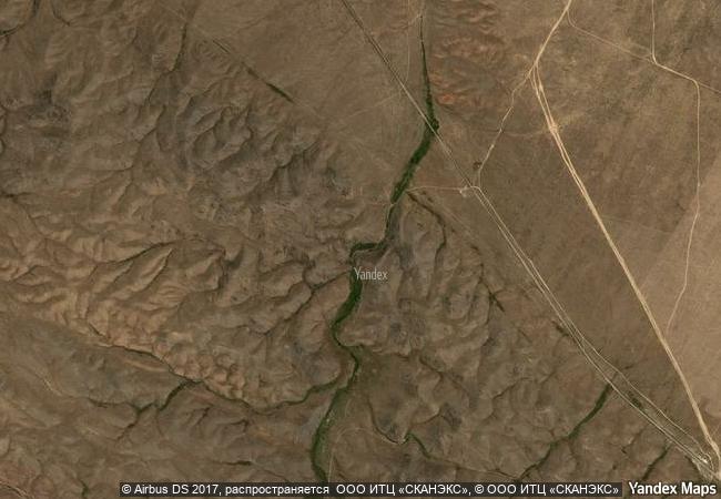
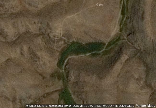
description |
set around the lush tanbaly gorge, amidst the vast, arid chu-ili mountains, is a remarkable concentration of some 5,000 petroglyphs (rock carvings) dating from the second half of the second millennium bc to the beginning of the 20th century. distributed among 48 complexes with associated settlements and burial grounds, they are testimonies to the husbandry, social organization and rituals of pastoral peoples. human settlements in the site are often multilayered and show occupation through the ages. a huge number of ancient tombs are also to be found including stone enclosures with boxes and cists (middle and late bronze age), and mounds (kurgans) of stone and earth (early iron age to the present). the central canyon contains the densest concentration of engravings and what are believed to be altars, suggesting that these places were used for sacrificial offerings. |
|

|
justification |
criterion (iii): the dense and coherent group of petroglyphs, with sacred images, altars and cult areas, together with their associated settlements and burial sites, provide a substantial testimony to the lives and beliefs of pastoral peoples of the central asian steppes from the bronze age to the present day. |
|


 0
0


 1 X ™ unesco
 Info
Info
 Map
Map
 similar
 language