1 X xXx
3
unesco


Chiribiquete National Park – “The Maloca of the Jaguar”

Latin America and the Caribbean

4.505.54 km
0

Chiribiquete National Park – “The Maloca of the Jaguar”


Identifier 1174
states co
category mixed
criteria (iii)(ix)(x)
Title chiribiquete national park – “the maloca of the jaguar”
latitude 0.5252779722
longitude -72.7972183228
Region latin america and the caribbean
year 2018
unique number 2213
description 
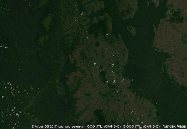
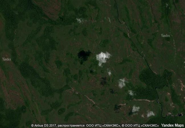
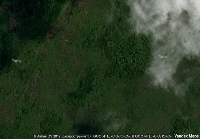
chiribiquete national park, the largest protected area in colombia, is the confluence point of four biogeographical provinces: amazon, andes, orinoco and guyana. as such, the national park guarantees the connectivity and preservation of the biodiversity of these provinces, constituting itself as an interaction scenario in which flora and fauna diversity and endemism have flourished. one of the defining features of chiribiquete is the presence of tepees (table-top mountains), sheer-sided sandstone plateaux that outstand in the forest and result in dramatic scenery that is reinforced by its remoteness, inaccessibility and exceptional conservation. over 75,000 figures have been made by indigenous people on the walls of the 60 rock shelters from 20,000 bce, and are still made nowadays by the uncontacted peoples protected by the national park. these paintings depict hunting scenes, battles, dances and ceremonies, as well as fauna and flora species, with a particular the worship of the jaguar, a symbol of power and fertility. the indigenous communities, which are not directly present on the site, consider chiribiquete as a sacred place that cannot be visited and that should be preserved unaltered.
9.2 M

Colombia
www.X-X-X.NAME
0.5252779722 ° × -72.7972183228 °

0 ° 32 ′ 31 ″ N × 72 ° 48 ′ 50 ″ W
4.505.54 km

283 ° W>NW
Colombia, Caqueta

Amazon basin / Selva / Colombia / Caqueta
Trang An Landscape Complex

Asia and the Pacific

13.255.61 km
Uluru-Kata Tjuta National Park

Northern territory

16.469.56 km
Historic Sanctuary of Machu Picchu

Latin America and the Caribbean

6.008.13 km
Papahānaumokuākea

Europe and North America

8.002.47 km
Laponian Area

County of Norrbotten. Municipalities – rural districts – Gällivare, Jokkmokk and Arjeplog

6.385.41 km
Tasmanian Wilderness

State of Tasmania

15.961.32 km
Chiribiquete National Park – “The Maloca of the Jaguar”

Latin America and the Caribbean

4.505.54 km
Hierapolis-Pamukkale

Denizli Province

8.938.56 km
Tikal National Park

Department of El Peten

2.608.25 km
St Kilda

Europe and North America

5.472.80 km
Ennedi Massif: Natural and Cultural Landscape

Africa

10.006.34 km
Khangchendzonga National Park

Asia and the Pacific

12.431.54 km

©

1 X ™


BRAND COM CORP GLOBAL INT

AAA BASE GRAND HIGH ORIGINAL QUALITY TOP UNIQUE

X-X-X•NAME
1 X ™ unesco
Info
Map
similar
language
guest


1 X
-4
IP : America/New_York
-4
IP : America/New_York