|
|

| |||||
|
|
 0
0
|

|

|

|
|
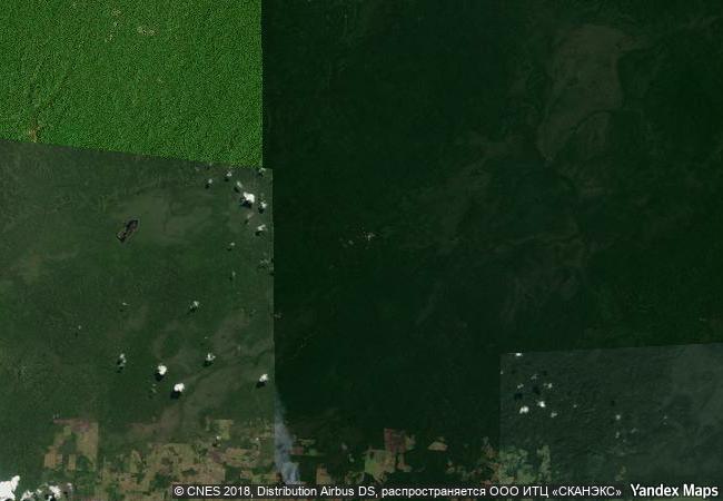
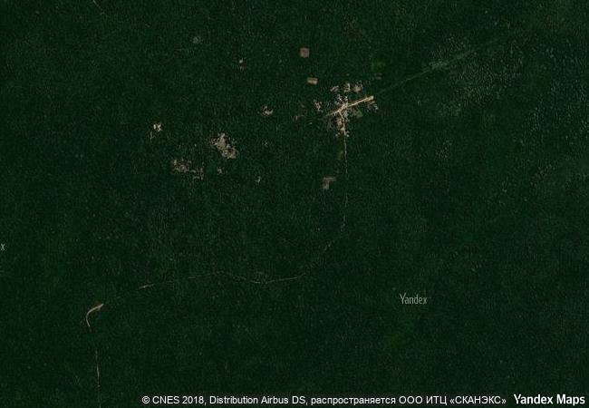
Tikal National Park |
|||

|
|||

|
|||

|
|||

|
|||

|
|||

|
|||

|
|||

|
|||

|
|||

|
|||

|
|||

|
|||
7.8 M
|
|
|
|
|
|
17,21 ° × -89,61 ° |
2.608.02 |
|
Guatemala, El Petén |
|
|
|
|

|


|

|

|

|

|

|

|

|

|

|

|

|

|

|

|

|
 1 X ™ unesco
|
 Info
Info
|
 Map
Map
|
 similar
|
 language
|
|
|
|
|
|
|
|
|
|
|

|

|

|

|

|

|

|
|
| ▼ ▼ ▼ | |
|
|

|

|

|
|
► ► |