|
|

| |||||
|
|
 0
0
|

|

|

|
|
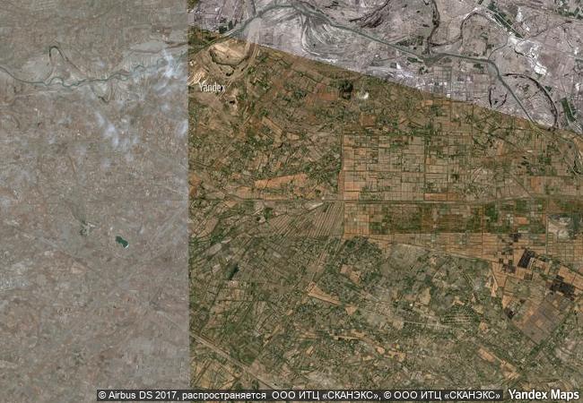
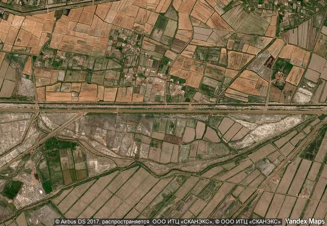
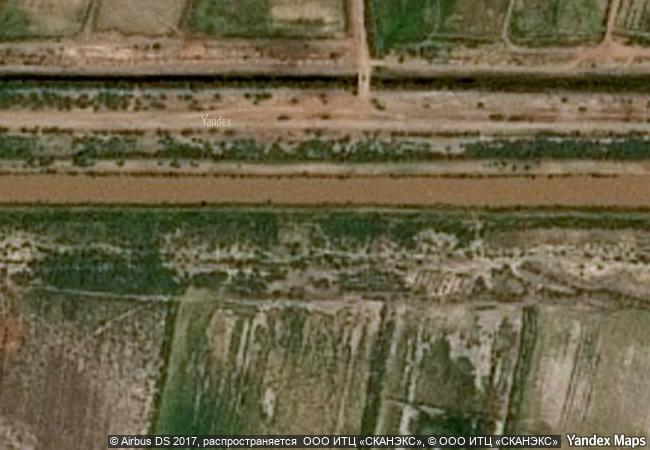
Kunya-Urgench |
|||

|
|||

|
|||

|
|||

|
|||

|
|||

|
|||

|
|||

|
|||

|
|||

|
|||

|
|||

|
|||

|
|||
2.26 M
|
|
|
|
|
|
42,18 ° × 59,08 ° |
10.114.73 |
|
Turkmenistan, Dashoguz Region |
|
|
|
|

|


|

|

|

|

|

|

|

|

|

|

|

|

|

|

|

|
 1 X ™ unesco
|
 Info
Info
|
 Map
Map
|
 similar
|
 language
|
|
|
|
|
|
|
|
|
|
|

|

|

|

|

|

|

|
|
| ▼ ▼ ▼ | |
|
|

|

|

|
|
► ► |