xXx X 1 ™
⬤
unesco
⬤


☆
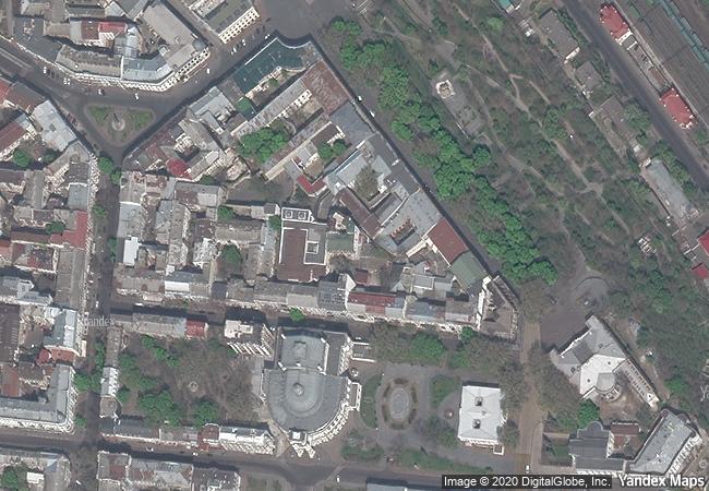
The Historic Centre of Odesa

Europe and North America

8.376.09 km
☆
★★★★☆
0

The Historic Centre of Odesa


Identifier 1703
states ua
category cultural
criteria (ii)(iv)
Title the historic centre of odesa
latitude 46.4864501953
longitude 30.7416133881
Region europe and north america
year 2023
unique number 2519
description the historic center of odesa, part of the black sea port city developed on the site of khadzhybei, is a densely built-up area, planned according to classicism canons, characterized by two- to four-storey buildings and wide perpendicular streets lined with trees. historic buildings reflect the rapid economic development of the city in the 19th and early 20th centuries. the site includes theatres, bridges, monuments, religious buildings, schools, private palaces and tenement houses, clubs, hotels, banks, shopping centres, warehouses, stock exchanges and other public and administrative buildings designed by architects and engineers, mostly from italy in the early years, but also of other nationalities. eclecticism is the dominant feature of the historic city centre’s architecture. the site bears witness to the city’s highly diverse ethnic and religious communities, representing an outstanding example of intercultural exchanges and the growth of multicultural and multi-ethnic eastern european cities of the 19th century.
❗
2.23 M
(2)

Ukraine
☆
623.3 K

Odesa
www.X-X-X.NAME
46,48 ° × 30,74 °

46 ° 29 ′ 11 ″ N × 30 ° 44 ′ 30 ″ E
8.376.09 km

283 ° W>NW
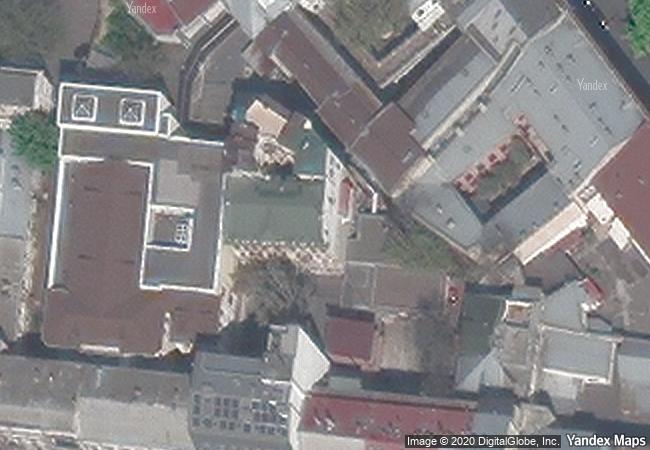
Ukraine, Odesa, provulok Chaikovskoho, 8

Pontic-Caspian steppe / Ukraine / Odeska Region / Odeskyi raion / Odeska miska hromada / Odesa / Prymorskyi raion / provulok Chaikovskoho / provulok Chaikovskoho, 8
☆
Rock Art in the Hail Region of Saudi Arabia

Arab States

10.491.80 km
☆
Churches of Moldavia

Europe and North America

7.997.00 km
☆
Abu Mena

Mariut desert, District of Burg al-Arab, Gouvernate of Al Iskandariyah (Alexandria)

9.525.57 km
☆
Margravial Opera House Bayreuth

Europe and North America

7.017.96 km
☆
Ajanta Caves

Maharashtra State, Aurangabad District , Soyagon Taluka, Lenapur Village

12.932.97 km
☆
Shahr-i Sokhta

Asia and the Pacific

11.349.82 km
☆
Cultural Landscape of the Serra de Tramuntana

Europe and North America

6.999.69 km
☆
Frontiers of the Roman Empire

Europe and North America

5.912.64 km
☆
Mozu-Furuichi Kofun Group: Mounded Tombs of Ancient Japan

Asia and the Pacific

10.831.18 km
☆
Churches of Chiloé

Municipalities of Castro, Chonchi, Dalcahue, Puqueldón, Quemchi, and Quinchao, Chiloé Province, X Region de los Lagos

9.216.01 km
☆
Kujataa Greenland: Norse and Inuit Farming at the Edge of the Ice Cap

Europe and North America

3.457.96 km
☆
Sacred Mijikenda Kaya Forests

Coast Province

13.024.04 km

©

1 X ™


BRAND • COM • CORP • GLOBAL • INT

AAA • BASE • GRAND • HIGH • ORIGINAL • QUALITY • TOP • UNIQUE

™X-X-X•NAME
1 X ™ unesco
Info
Map
similar
language
▼ ▼ ▼
guest


1 X
™
-5
IP : America/New_York
-5
IP : America/New_York
▼ ▼ ▼
►
►