1 xXx X ™
2
⬤
unesco
⬤


☆
Bahá’i Holy Places in Haifa and the Western Galilee

Haifa and Northern Districts

9.713.77 km
☆
★★★★☆
0

Bahá’i Holy Places in Haifa and the Western Galilee


Haifa and Northern Districts
Identifier 1220
states il
category cultural
criteria (iii)(vi)
Title bahá’i holy places in haifa and the western galilee
latitude 32.8293952942
longitude 34.9716491699
location haifa and northern districts
Region europe and north america
year 2008
unique number 1581
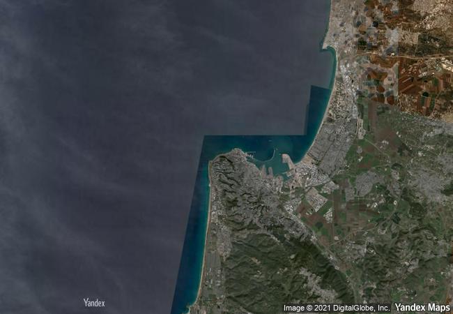
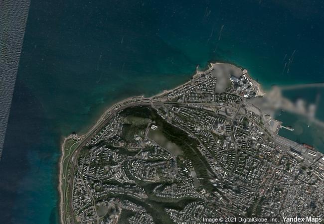
description the bahá’i holy places in haifa and western galilee are inscribed for their profound spiritual meaning and the testimony they bear to the strong tradition of pilgrimage in the bahá’i faith. the property includes the two most holy places in the bahá’í religion associated with the founders, the shrine of bahá’u’lláh in acre and the shrine of the báb in haifa, together with their surrounding gardens, associated buildings and monuments. these two shrines are part of a larger complex of buildings, monuments and sites at seven distinct locations in haifa and western galilee that are visited as part of the bahá’i pilgrimage.
★
3.1 M

Israel
★
474.1 K

Haifa
www.X-X-X.NAME
32,82 ° × 34,97 °

32 ° 50 ′ 46 ″ N × 34 ° 58 ′ 18 ″ E
9.713.77 km

193 ° S>SW
Israel, Haifa, Baha`I Cemetery

Israel / Haifa District / Haifa Subdistrict / Haifa / Western Haifa / Bat Gallim, Kiryat Eli`Ezer / Kiryat Eliezer / Baha`I Cemetery
☆
Cahokia Mounds State Historic Site

Collinsville, Illinois

624.41 km
☆
Fortifications of Vauban

Europe and North America

6.815.31 km
☆
Colonies of Benevolence

Europe and North America

6.537.71 km
☆
Historic City of Trogir

County of Split-Dalmatia

7.709.88 km
☆
Pre-Hispanic Town of Uxmal

Etat de Yucatan, municipalites Muna et Santa Elena

2.272.39 km
☆
Shushtar Historical Hydraulic System

Asia and the Pacific

10.600.67 km
☆
Punic Town of Kerkuane and its Necropolis

Gouvernorat de Nabeul

7.782.08 km
☆
Coro and its Port

State of Falcon

3.434.26 km
☆
Portovenere, Cinque Terre, and the Islands (Palmaria, Tino and Tinetto)

Province of La Spezia, Liguria Region

7.240.43 km
☆
Citadel, Ancient City and Fortress Buildings of Derbent

Dagestan, Eastern Caucasus, Western coast of Caspian Sea

9.658.75 km
☆
Semmering Railway

Between Gloggnitz, State of Lower Austria and Simmering, State of Styria

7.417.74 km
☆
Crac des Chevaliers and Qal’at Salah El-Din

Municipalities of Al Hosn and Haffeh

9.637.74 km

©

1 X ™


BRAND • COM • CORP • GLOBAL • INT

AAA • BASE • GRAND • HIGH • ORIGINAL • QUALITY • TOP • UNIQUE

™X-X-X•NAME
1 X ™ unesco
Info
Map
similar
language
▼ ▼ ▼
guest


1 X
™
-5
IP : America/New_York
-5
IP : America/New_York
▼ ▼ ▼
►
►