|
|


| |||||
|
|
 0
0
|

|

|

|
|
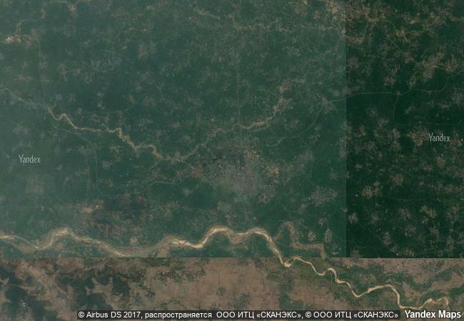
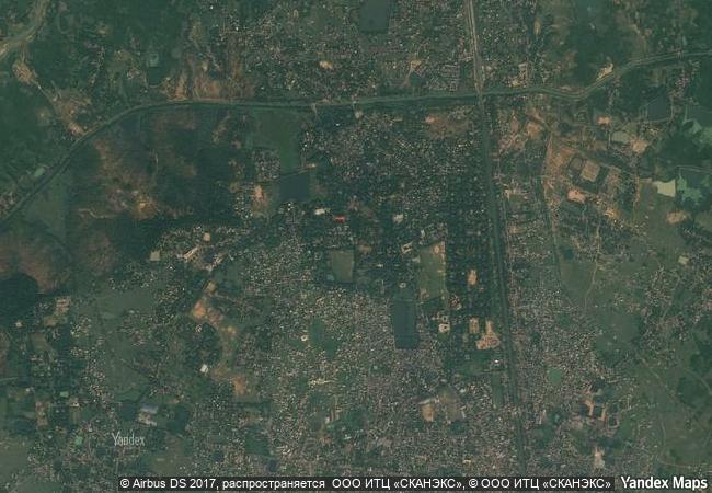
Santiniketan |
|||

|
|||

|
|||

|
|||

|
|||

|
|||

|
|||

|
|||

|
|||

|
|||

|
|||

|
|||
3.8 M
|
|
|
|
|
|
23,68 ° × 87,68 ° |
12.873.08 |
|
India, State of West Bengal |
|
|
|

|
|


|

|
|

|

|

|

|

|

|

|

|

|

|

|

|

|
 1 X ™ unesco
|
 Info
Info
|
 Map
Map
|
 similar
|
 language
|
|
|
|
|
|
|
|
|
|
|

|

|

|

|

|

|

|
|
| ▼ ▼ ▼ | |
|
|

|

|

|
|
► ► |