Monasteries of Haghpat and Sanahin
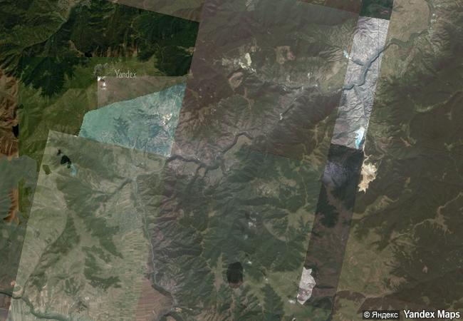
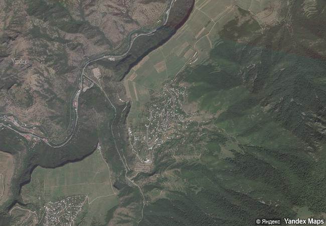
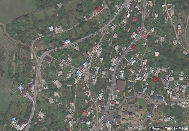
Villages of Haghpat and Sanahin, Lorri Region
|

|
Identifier |
777 |
|

|
states |
am |
|

|
category |
cultural |
|

|
criteria |
(ii)(iv) |
|

|
Title |
monasteries of haghpat and sanahin |
|

|
latitude |
41.0950012207 |
|

|
longitude |
44.7102813721 |
|

|
location |
villages of haghpat and sanahin, lorri region |
|

|
Region |
europe and north america |
|

|
year |
1996 |
|

|
unique number |
920 |
|

|
description |
these two byzantine monasteries in the tumanian region from the period of prosperity during the kiurikian dynasty (10th to 13th century) were important centres of learning. sanahin was renown for its school of illuminators and calligraphers. the two monastic complexes represent the highest flowering of armenian religious architecture, whose unique style developed from a blending of elements of byzantine ecclesiastical architecture and the traditional vernacular architecture of the caucasian region. |
|

|
justification |
the committee decided to inscribe the monastery of haghpat on the basis of cultural criteria (ii) and (iv) considering that it is of outstanding universal value and an exceptional example of ecclesiastical architecture that developed in armenia in the 10th to 13th centuries which is unique by virtue of its blending of elements of both byzantine church architecture and the traditional vernacular building style of this region. |
|

|
extension |
1 |
|


 0
0


 1 X ™ unesco
 Info
Info
 Map
Map
 similar
 language