X xXx 1 ™
3
3
⬤
unesco
⬤


☆
Monumental Earthworks of Poverty Point

Europe and North America

1.108.22 km
☆
★★★★☆
0

Monumental Earthworks of Poverty Point


Identifier 1435
states us
category cultural
criteria (iii)
Title monumental earthworks of poverty point
latitude 32.6369438171
longitude -91.4063873291
Region europe and north america
year 2014
unique number 1978
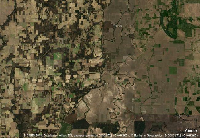
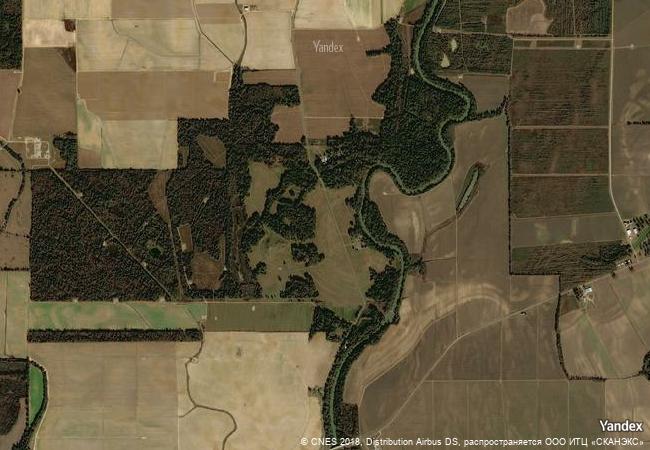
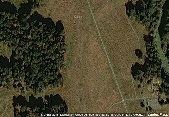
description monumental earthworks of poverty point owes its name to a 19th-century plantation close to the site, which is in the lower mississippi valley on a slightly elevated and narrow landform. the complex comprises five mounds, six concentric semi-elliptical ridges separated by shallow depressions and a central plaza. it was created and used for residential and ceremonial purposes by a society of hunter fisher-gatherers between 3700 and 3100 bp. it is a remarkable achievement in earthen construction in north america that was unsurpassed for at least 2,000 years.
★
2.35 M
(2)

United States
www.X-X-X.NAME
32,63 ° × -91,40 °

32 ° 38 ′ 13 ″ N × 91 ° 24 ′ 23 ″ W
1.108.22 km

212 ° SW
United States of America, Louisiana, West Carroll Parish, Poverty Point National Monument

United States of America / Central Lowlands / Louisiana / West Carroll Parish / Poverty Point National Monument
☆
Historic and Architectural Complex of the Kazan Kremlin

City of Kazan, Republic of Tatarstan

8.448.35 km
☆
Taos Pueblo

New Mexico

2.003.13 km
☆
Kernavė Archaeological Site (Cultural Reserve of Kernavė)

Vilnius county, Širvintos district, Kernave town.

7.454.24 km
☆
Khami Ruins National Monument

Western Region, Matabeleland

13.223.27 km
☆
Punic Town of Kerkuane and its Necropolis

Gouvernorat de Nabeul

7.782.08 km
☆
Old Towns of Djenné

Djenné Circle, Region of Mopti

8.043.58 km
☆
Three Castles, Defensive Wall and Ramparts of the Market-Town of Bellinzona

Bellinzona - Canton of Ticino

7.071.01 km
☆
Hidden Christian Sites in the Nagasaki Region

Asia and the Pacific

11.284.14 km
☆
Agricultural Landscape of Southern Öland

Kalmar County, Island of Öland

6.930.26 km
☆
Richtersveld Cultural and Botanical Landscape

Northern Cape

12.815.69 km
☆
Vézelay, Church and Hill

Department of Yonne, Bourgogne Region

6.652.14 km
☆
Koh Ker: Archaeological Site of Ancient Lingapura or Chok Gargyar

Asia and the Pacific

13.988.62 km

©

1 X ™


BRAND • COM • CORP • GLOBAL • INT

AAA • BASE • GRAND • HIGH • ORIGINAL • QUALITY • TOP • UNIQUE

™X-X-X•NAME
1 X ™ unesco
Info
Map
similar
language
▼ ▼ ▼
guest


1 X
™
-5
IP : America/New_York
-5
IP : America/New_York
▼ ▼ ▼
►
►