|
|


| |||||
|
|
 0
0
|

|

|

|
|
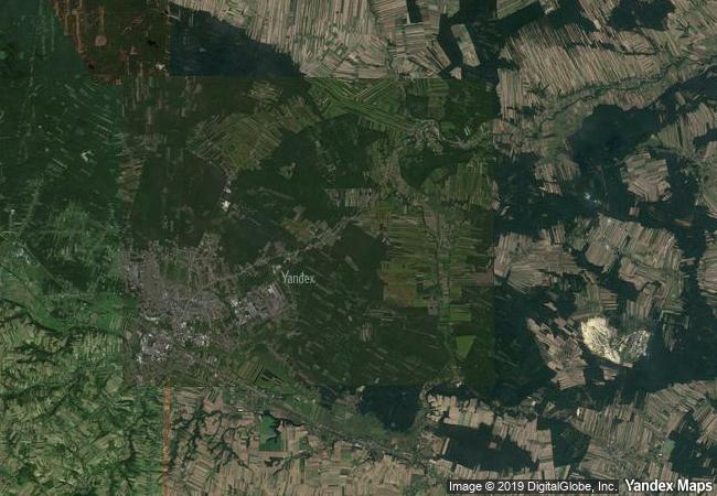
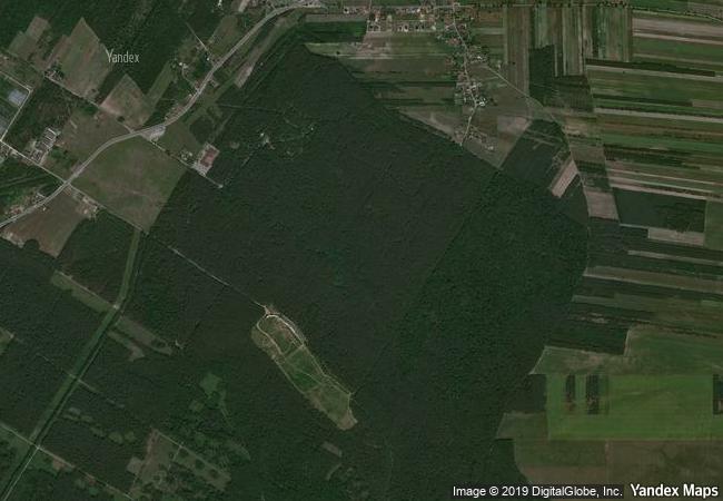
Krzemionki Prehistoric Striped Flint Mining Region |
|||

|
|||

|
|||

|
|||

|
|||

|
|||

|
|||

|
|||

|
|||

|
|||

|
|||

|
|||
1.02 M
|
|
|
|
|
|
50,96 ° × 21,50 ° |
7.537.81 |
|
Poland, Swietokrzyskie Voivodeship, Powiat Ostrowiecki, Bodzechów, Sudół |
|
|
|

|
|


|

|

|

|

|

|

|

|

|

|

|

|

|

|

|

|
 1 X ™ unesco
|
 Info
Info
|
 Map
Map
|
 similar
|
 language
|
|
|
|
|
|
|
|
|
|
|

|

|

|

|

|

|

|
|
| ▼ ▼ ▼ | |
|
|

|

|

|
|
► ► |