X 1 xXx
unesco


The Grand Canal

Asia and the Pacific

11.563.22 km
0

The Grand Canal


Identifier 1443
states cn
category cultural
criteria (i)(iii)(iv)(vi)
Title the grand canal
latitude 34.6938896179
longitude 112.4683303833
Region asia and the pacific
year 2014
unique number 2181
description 
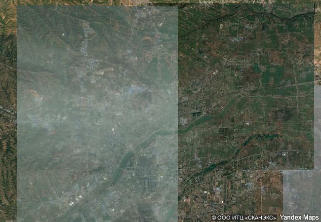
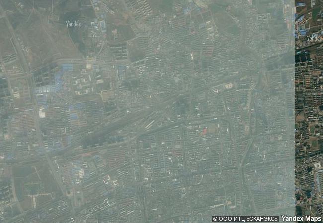
the grand canal is a vast waterway system in the north-eastern and central-eastern plains of china, running from beijing in the north to zhejiang province in the south. constructed in sections from the 5th century bc onwards, it was conceived as a unified means of communication for the empire for the first time in the 7th century ad (sui dynasty). this led to a series of gigantic construction sites, creating the world’s largest and most extensive civil engineering project prior to the industrial revolution. it formed the backbone of the empire’s inland communication system, transporting grain and strategic raw materials, and supplying rice to feed the population. by the 13th century it consisted of more than 2,000 km of artificial waterways, linking five of china’s main river basins. it has played an important role in ensuring the country’s economic prosperity and stability and is still in use today as a major means of communication.
9.54 M
(2)

China

Luoyang City
www.X-X-X.NAME
34.6938896179 ° × 112.4683303833 °

34 ° 42 ′ 38 ″ N × 112 ° 28 ′ 06 ″ E
11.563.22 km

316 ° N>NW
China, Henan Province, Luoyang City

China / Henan Province / Qinling / Luoyang District / Luoyang City
Champaner-Pavagadh Archaeological Park

Gujarat state, district of Panchmahal

12.657.44 km
Maya Site of Copan

Copán; westernmost part of the country

2.855.25 km
Red Bay Basque Whaling Station

Europe and North America

2.418.13 km
Fertö / Neusiedlersee Cultural Landscape

State of Burgenland (AT) / County of Györ-Moson-Sopron (HU)

7.468.51 km
As-Salt - The Place of Tolerance and Urban Hospitality

Arab States

9.826.43 km
Fortifications on the Caribbean Side of Panama: Portobelo-San Lorenzo

Province of Colon - Distric of Cristobal

3.397.50 km
Late Baroque Towns of the Val di Noto (South-Eastern Sicily)

Provinces of Catania, Ragusa, and Syracuse, Sicily

8.069.85 km
Medieval City of Rhodes

Prefecture of Dodecanese, Region of the South Aegean

8.994.93 km
Cultural Landscape and Archaeological Remains of the Bamiyan Valley

Bamiyan Province, Bamiyan District

11.175.26 km
Minaret and Archaeological Remains of Jam

Shahrak District, Ghur Province

11.100.38 km
Robben Island

Western Cape Province

13.218.26 km
Þingvellir National Park

Bláskógabyggð municipality, district of Arnessysla

4.747.30 km

©

1 X ™


BRAND COM CORP GLOBAL INT

AAA BASE GRAND HIGH ORIGINAL QUALITY TOP UNIQUE

X-X-X•NAME
1 X ™ unesco
Info
Map
similar
language
guest


1 X
-4
IP : America/New_York
-4
IP : America/New_York