xXx 1 X ™
⬤
unesco
⬤


☆
Pergamon and its Multi-Layered Cultural Landscape

Europe and North America

8.431.04 km
☆
★★★★☆
0

Pergamon and its Multi-Layered Cultural Landscape


Identifier 1457
states tr
category cultural
criteria (i)(ii)(iii)(iv)(vi)
Title pergamon and its multi-layered cultural landscape
latitude 39.1258316040
longitude 27.1800003052
Region europe and north america
year 2014
unique number 2001
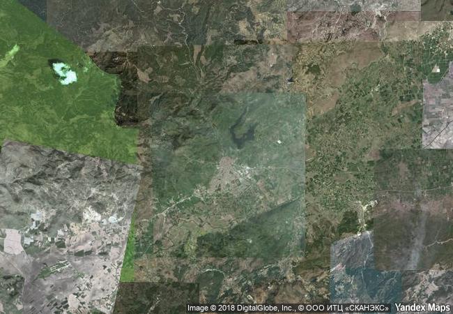
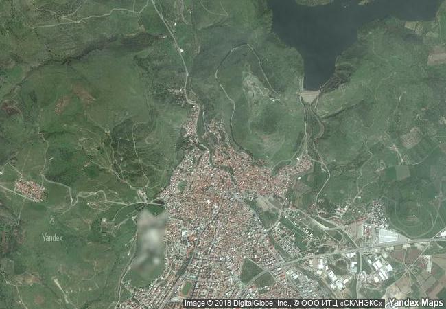
description this site rises high above the bakirçay plain in turkey’s aegean region. the acropolis of pergamon was the capital of the hellenistic attalid dynasty, a major centre of learning in the ancient world. monumental temples, theatres, stoa or porticoes, gymnasium, altar and library were set into the sloping terrain surrounded by an extensive city wall. the rock-cut kybele sanctuary lies to the north-west on another hill visually linked to the acropolis. later the city became capital of the roman province of asia known for its asclepieion healing centre. the acropolis crowns a landscape containing burial mounds and remains of the roman, byzantine and ottoman empires in and around the modern town of bergama on the lower slopes.
★
1.3 M

Turkey
www.X-X-X.NAME
39,12 ° × 27,18 °

39 ° 08 ′ 33 ″ N × 27 ° 11 ′ 48 ″ E
8.431.04 km

338 ° N
Türkiye, Izmir, Bergama District, Ulucami Neighborhood, Koca Alan Street

Türkiye / Izmir / Bergama District / Bergama / Ulucami Neighborhood / Koca Alan Street
☆
Studenica Monastery

Village of Studenica, Commune of Kraljevo, Raška District, Republic of Serbia

7.696.19 km
☆
Historic District of Old Québec

Province of Quebec, City of Quebec

1.002.63 km
☆
Mahabodhi Temple Complex at Bodh Gaya

State of Bihar, Eastern India

12.697.13 km
☆
Mountain Railways of India

Asia and the Pacific

13.800.33 km
☆
Roman Walls of Lugo

Province of Lugo, Autonomous Community of Galicia

5.710.06 km
☆
Rangiri Dambulla Cave Temple

Central Province, Matale District

14.332.76 km
☆
Kizhi Pogost

Karelian Autonomous S.S.R., Medvezhjegorskij Region

7.273.68 km
☆
Mesa Verde National Park

Colorado

2.704.59 km
☆
Jesuit Missions of the Guaranis: San Ignacio Mini, Santa Ana, Nuestra Señora de Loreto and Santa Maria Mayor (Argentina), Ruins of Sao Miguel das Missoes (Brazil)

State of Rio Grande do Sul, Brazil; Province of Misiones, Argentina

7.891.88 km
☆
Medina of Tétouan (formerly known as Titawin)

Region Nord-Ouest, Wilaya de Tétouan, Province of Tétouan, Medina of Tétouan

6.217.81 km
☆
Rock Carvings in Tanum

Bohuslan

6.324.04 km
☆
Royal Court of Tiébélé

Africa

8.074.70 km

©

1 X ™


BRAND • COM • CORP • GLOBAL • INT

AAA • BASE • GRAND • HIGH • ORIGINAL • QUALITY • TOP • UNIQUE

™X-X-X•NAME
1 X ™ unesco
Info
Map
similar
language
▼ ▼ ▼
guest


1 X
™
-4
IP : America/New_York
-4
IP : America/New_York
▼ ▼ ▼
►
►