xXx 1 X ™
4
⬤
unesco
⬤


☆
Khangchendzonga National Park

Asia and the Pacific

12.431.87 km
☆
★★★★☆
0

Khangchendzonga National Park


Identifier 1513
states in
category mixed
criteria (iii)(vi)(vii)(x)
Title khangchendzonga national park
latitude 27.7647228241
longitude 88.3772201538
Region asia and the pacific
year 2016
unique number 2105
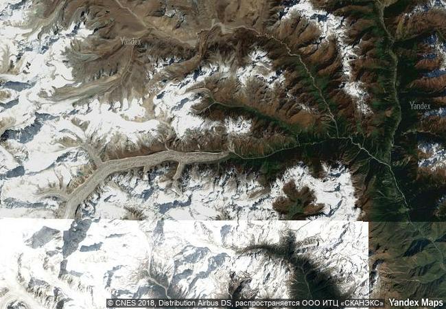
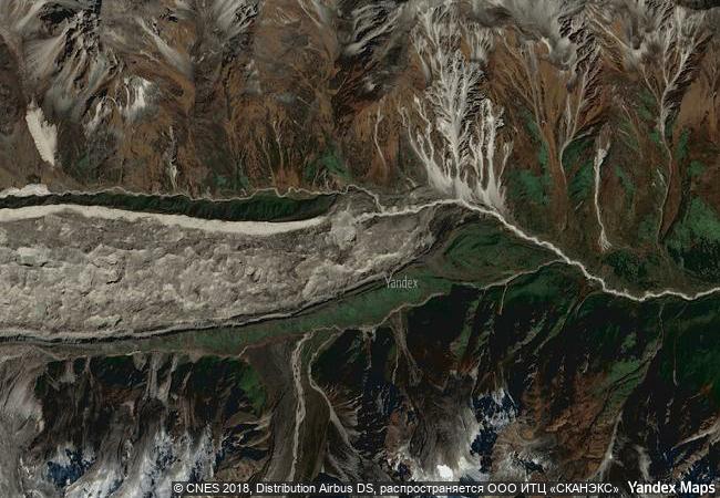
description located at the heart of the himalayan range in northern india (state of sikkim), the khangchendzonga national park includes a unique diversity of plains, valleys, lakes, glaciers and spectacular, snow-capped mountains covered with ancient forests, including the world’s third highest peak, mount khangchendzonga. mythological stories are associated with this mountain and with a great number of natural elements (caves, rivers, lakes, etc.) that are the object of worship by the indigenous people of sikkim. the sacred meanings of these stories and practices have been integrated with buddhist beliefs and constitute the basis for sikkimese identity.
★
9.7 M

India
www.X-X-X.NAME
27,76 ° × 88,37 °

27 ° 46 ′ 53 ″ N × 88 ° 23 ′ 38 ″ E
12.431.87 km

244 ° W>SW
India, State of Sikkim, Khangchendzonga National Park

Tibetan Plateau / India / Himalayas / State of Sikkim / Khangchendzonga National Park
☆
Historic Sanctuary of Machu Picchu

Latin America and the Caribbean

6.007.58 km
☆
Chiribiquete National Park – “The Maloca of the Jaguar”

Latin America and the Caribbean

4.504.96 km
☆
Uluru-Kata Tjuta National Park

Northern territory

16.470.29 km
☆
Laponian Area

County of Norrbotten. Municipalities – rural districts – Gällivare, Jokkmokk and Arjeplog

6.385.50 km
☆
Mount Wuyi

Wuyishan City, Fujian Province

12.189.28 km
☆
Tehuacán-Cuicatlán Valley: originary habitat of Mesoamerica

Latin America and the Caribbean

2.797.29 km
☆
Ngorongoro Conservation Area

Africa

12.638.71 km
☆
Rock Islands Southern Lagoon

Asia and the Pacific

13.517.20 km
☆
Tongariro National Park

Asia and the Pacific

13.524.05 km
☆
Göreme National Park and the Rock Sites of Cappadocia

Nevşehir Province (Cappadocia) in Central Anatolia

9.230.35 km
☆
Willandra Lakes Region

Balranald and Wentworth shires, New South Wales

15.921.43 km
☆
Ancient Maya City and Protected Tropical Forests of Calakmul, Campeche

Latin America and the Caribbean

2.520.37 km

©

1 X ™


BRAND • COM • CORP • GLOBAL • INT

AAA • BASE • GRAND • HIGH • ORIGINAL • QUALITY • TOP • UNIQUE

™X-X-X•NAME
1 X ™ unesco
Info
Map
similar
language
▼ ▼ ▼
guest


1 X
™
-4
IP : America/New_York
-4
IP : America/New_York
▼ ▼ ▼
►
►