|
|


| |||||
|
|
 0
0
|

|

|

|
|
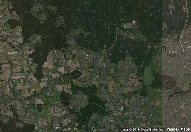
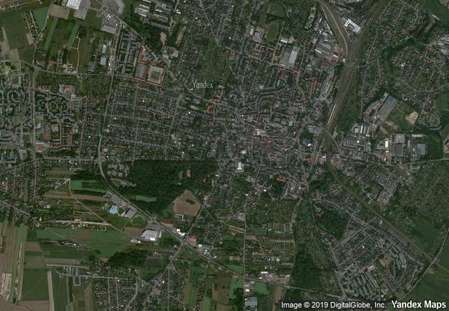
Tarnowskie Góry Lead-Silver-Zinc Mine and its Underground Water Management System |
|||

|
|||

|
|||

|
|||

|
|||

|
|||

|
|||

|
|||

|
|||

|
|||

|
|||

|
|||
3.1 M
|
|
|
|
|
|
50,44 ° × 18,85 ° |
7.421.07 |
|
Poland, Silesian Voivodeship, Powiat Tarnogórski, Tarnowskie Góry |
|
|
|

|
|


|

|

|

|

|

|

|

|

|

|

|

|

|

|

|

|
 1 X ™ unesco
|
 Info
Info
|
 Map
Map
|
 similar
|
 language
|
|
|
|
|
|
|
|
|
|
|

|

|

|

|

|

|

|
|
| ▼ ▼ ▼ | |
|
|

|

|

|
|
► ► |