1 xXx X
unesco


Archaeological Site of Ani

Europe and North America

9.562.10 km
0

Archaeological Site of Ani


Identifier 1518
states tr
category cultural
criteria (ii)(iii)(iv)
Title archaeological site of ani
latitude 40.5000000000
longitude 43.5666656494
Region europe and north america
year 2016
unique number 2110
description 
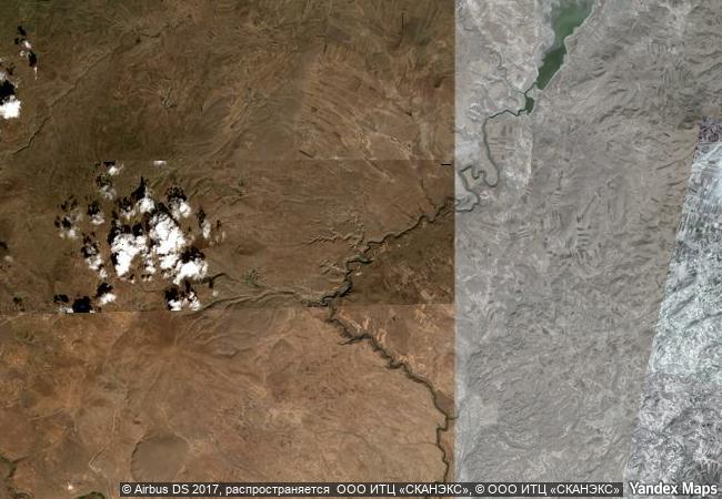
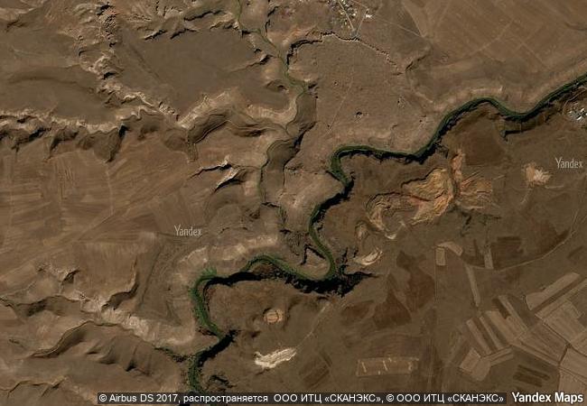
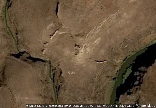
this site is located on a secluded plateau of northeast turkey overlooking a ravine that forms a natural border with armenia. this medieval city combines residential, religious and military structures, characteristic of a medieval urbanism built up over the centuries by christian and then muslim dynasties. the city flourished in the 10th and 11th centuries ce when it became the capital of the medieval armenian kingdom of the bagratides and profited from control of one branch of the silk road. later, under byzantine, seljuk and georgian sovereignty, it maintained its status as an important crossroads for merchant caravans. the mongol invasion and a devastating earthquake in 1319 marked the beginning of the city’s decline. the site presents a comprehensive overview of the evolution of medieval architecture through examples of almost all the different architectural innovations of the region between the 7th and 13th centuries ce.
1.5 M
(3)

www.X-X-X.NAME
40.5 ° × 43.5666656494 °

40 ° 30 ′ 00 ″ N × 43 ° 34 ′ 60 ″ E
9.562.10 km

287 ° W>NW

Alhambra, Generalife and Albayzín, Granada

Province of Granada, Autonomous Community of Andalusia

6.669.57 km
Tyre

City and District of Tyre, Governorate of South Lebanon

9.692.10 km
Archaeological Site of Cyrene

District of Ghebel Akhdar

8.835.44 km
Historic Centre of Riga

City of Riga

7.278.80 km
Jesuit Block and Estancias of Córdoba

Province of Cordoba

8.171.00 km
Land of Frankincense

Dhofar Province

12.137.74 km
Ir.D.F. Woudagemaal (D.F. Wouda Steam Pumping Station)

Lemmer, Lemsterland Municipality, Province of Friesland

6.504.63 km
Maya Site of Copan

Copán; westernmost part of the country

2.855.25 km
Routes of Santiago de Compostela: Camino Francés and Routes of Northern Spain

Europe and North America

6.143.05 km
Wooden Churches of Maramureş

Districts of Bârsana, Budesti, Desesti, Ieud, Sisesti, Poienile Izei, Târgu-Lapus; Maramureş County, Region of Transylvania

7.898.89 km
Cultural Landscape of Kenozero Lake

Europe and North America

7.524.17 km
Lushan National Park

Jiujiang City, Jiangxi Province

12.056.03 km

©

1 X ™


BRAND COM CORP GLOBAL INT

AAA BASE GRAND HIGH ORIGINAL QUALITY TOP UNIQUE

X-X-X•NAME
1 X ™ unesco
Info
Map
similar
language
guest


1 X
-4
IP : America/New_York
-4
IP : America/New_York