X 1 xXx
5
unesco


Žatec and the Landscape of Saaz Hops

Europe and North America

7.120.16 km
0

Žatec and the Landscape of Saaz Hops


Identifier 1558
states cz
category cultural
criteria (iii)(iv)(v)
Title žatec and the landscape of saaz hops
latitude 50.3202781677
longitude 13.6199998856
Region europe and north america
year 2023
unique number 2453
description 
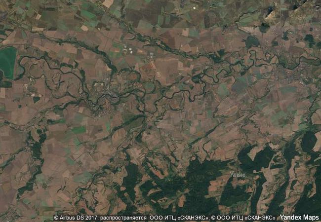
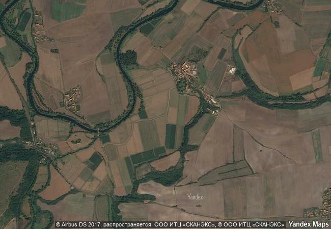
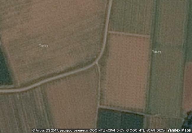
this cultural landscape has been shaped for centuries by the living tradition of cultivating and trading the world’s most renowned hop variety, used in beer production around the globe. the property includes particularly fertile hop fields near the river ohře that have been farmed continuously for hundreds of years, as well as historic villages and buildings used for processing hops. the urban component of the property is represented by the medieval centre of žatec with its southern extension, known as the “prague suburb” (pražské předměstí) including numerous specific 19th to 20th-century industrial structures. together, these illustrate the evolution of the agro-industrial processes and socio-economic system of growing, drying, certifying, and trading hops from the late middle ages to the present.
5.03 M

Czech Republic
www.X-X-X.NAME
50,32 ° × 13,61 °

50 ° 19 ′ 13 ″ N × 13 ° 37 ′ 12 ″ E
7.120.16 km

52 ° E>NE
Czechia, Ústecký kraj, Louny

Czechia / Ústecký kraj / Louny
Gardens and Castle at Kroměříž

City and District of Kroměříž, Zlin Region

7.407.60 km
Central University City Campus of the Universidad Nacional Autónoma de México (UNAM)

Mexico City

2.766.09 km
Archaeological Site of Aigai (modern name Vergina)

Prefecture of Imathia, Region of Central Macedonia

8.313.41 km
Gobustan Rock Art Cultural Landscape

Garadagh District and Apsheron District, Baku City Administrative Territory

9.887.24 km
Churches and Convents of Goa

State of Goa

13.400.81 km
National History Park – Citadel, Sans Souci, Ramiers

Département du Nord

2.489.51 km
Water Management System of Augsburg

Europe and North America

7.067.00 km
Peking Man Site at Zhoukoudian

Fangshanxian County, Beijing Municipality

10.952.20 km
Cathedral, Torre Civica and Piazza Grande, Modena

City and Province of Modena, Emilia-Romagna Region

7.288.39 km
Historic Centre of the Town of Diamantina

State of Minas Gerais

7.652.11 km
Gusuku Sites and Related Properties of the Kingdom of Ryukyu

Okinawa Prefecture

12.000.23 km
Madriu-Perafita-Claror Valley

Part of Communes of Encamp, Andorra la Vella, Saint Julia de Loria and Escaldes-Engordany

6.766.58 km

©

1 X ™


BRAND COM CORP GLOBAL INT

AAA BASE GRAND HIGH ORIGINAL QUALITY TOP UNIQUE

X-X-X•NAME
1 X ™ unesco
Info
Map
similar
language
guest


1 X
-4
IP : America/New_York
-4
IP : America/New_York