X 1 xXx
unesco


Frontiers of the Roman Empire – The Lower German Limes

Europe and North America

6.460.94 km
0

Frontiers of the Roman Empire – The Lower German Limes


Identifier 1631
states de,nl
category cultural
criteria (ii)(iii)(iv)
Title frontiers of the roman empire – the lower german limes
latitude 52.1803321838
longitude 4.4330000877
Region europe and north america
year 2021
unique number 2369
description 
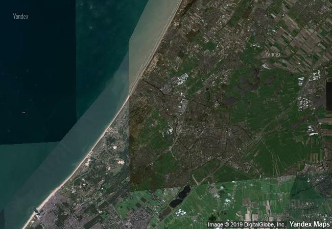
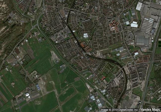
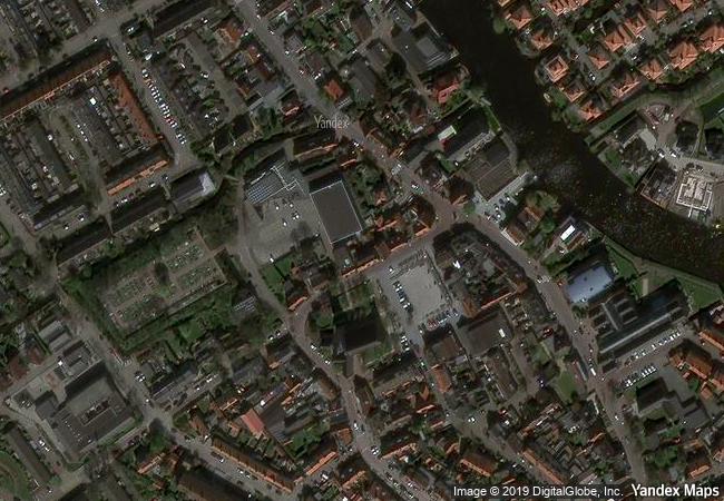
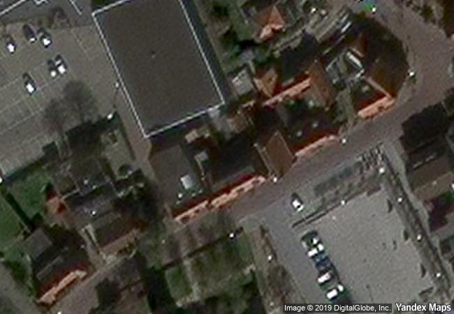
following the left bank of the lower rhine river for approximately 400 km from the rhenish massif in germany to the north sea coast in the netherlands, the transnational property consist of 102 components from one section of the frontiers of the roman empire, which in the 2nd century ce, stretched across europe, the near east, and north africa, over 7,500 km. the property comprises military and civilian sites and infrastructure that marked the edge of lower germany from the 1st to 5th centuries ce. archaeological remains in the property include legionary fortresses, forts, fortlets, towers, temporary camps, roads, harbours, a fleet base, a canal and an aqueduct, as well as civilian settlements, towns, cemeteries, sanctuaries, an amphitheatre, and a palace. almost all of these archaeological remains are buried underground. waterlogged deposits in the property have enabled a high degree of preservation of both structural and organic materials from the roman periods of occupation and use.
transboundary 1
1.01 M

Netherlands
108.4 K

Valkenburg
www.X-X-X.NAME
52,18 ° × 4,43 °

52 ° 11 ′ 49 ″ N × 4 ° 26 ′ 59 ″ E
6.460.94 km

155 ° S>SE
Netherlands, South Holland, Katwijk, Valkenburg, Broekweg

North European Plain / Netherlands / South Holland / Katwijk / Valkenburg / Broekweg
Thracian Tomb of Sveshtari

Razgrad Province

8.352.77 km
Temple of Preah Vihear

Asia and the Pacific

13.919.35 km
Su Nuraxi di Barumini

Province of Medio Campidano, Sardinia

7.456.71 km
Decorated Farmhouses of Hälsingland

Europe and North America

6.616.66 km
Singapore Botanic Gardens

Asia and the Pacific

15.373.05 km
Routes of Santiago de Compostela in France

Regions of Aquitaine, Auvergne, Basse-Normandie, Bourgogne, Centre, Champagne-Ardenne, Ile-de-France, Languedoc-Roussillon, Limousin, Midi-Pyrénées, Picardie, Poitou-Charentes, and Provence-Alpes-Côte d’Azur

6.563.52 km
ǂKhomani Cultural Landscape

Africa

12.897.77 km
Group of Monuments at Hampi

Karnataka, Bellary District

13.511.65 km
Zollverein Coal Mine Industrial Complex in Essen

State of North Rhine-Westphalia (Nordrhein-Westfalen)

6.655.76 km
Antequera Dolmens Site

Europe and North America

6.604.09 km
Paleochristian and Byzantine Monuments of Thessalonika

Prefecture of Thessaloniki, Region of Central Macedonia

8.343.20 km
Trinidad and the Valley de los Ingenios

Province of Sancti Spiritus

2.039.36 km

©

1 X ™


BRAND COM CORP GLOBAL INT

AAA BASE GRAND HIGH ORIGINAL QUALITY TOP UNIQUE

X-X-X•NAME
1 X ™ unesco
Info
Map
similar
language
guest


1 X
-4
IP : America/New_York
-4
IP : America/New_York