|
|


| |||||
|
|
 0
0
|

|

|

|
|
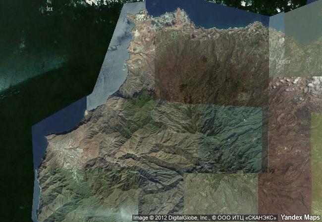
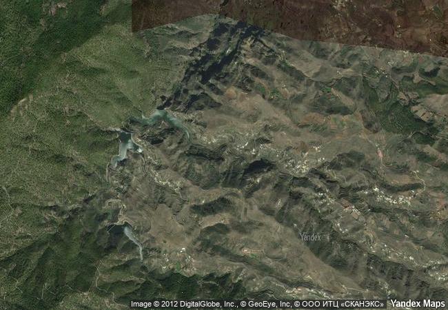
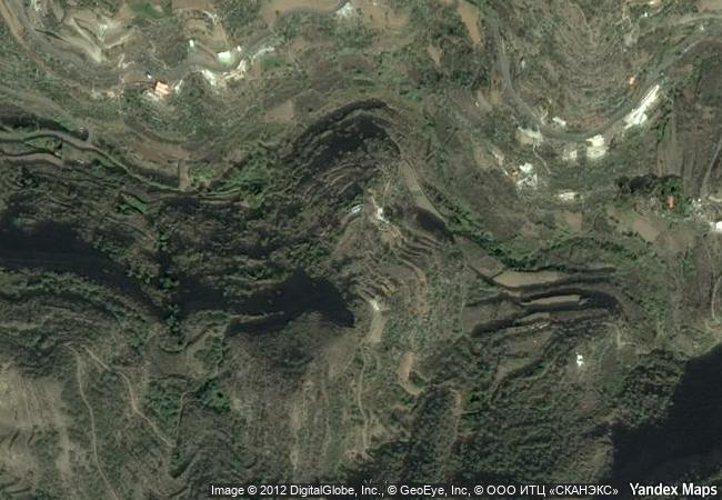
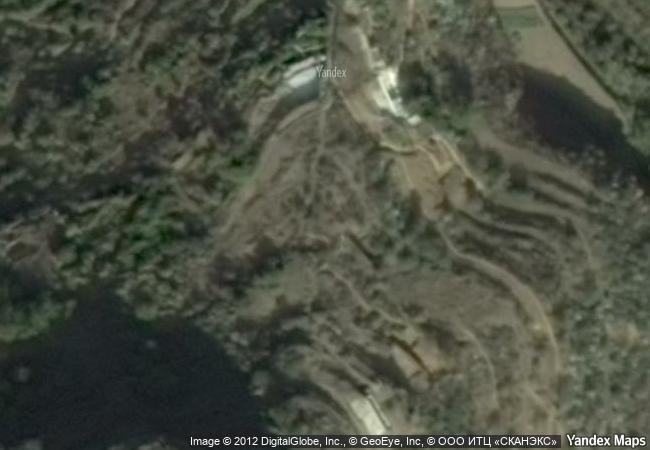
Risco Caido and the Sacred Mountains of Gran Canaria Cultural Landscape |
|||

|
|||

|
|||

|
|||

|
|||

|
|||

|
|||

|
|||

|
|||

|
|||

|
|||

|
|||
4.9 M
|
|
|
|
|
|
28,04 ° × -15,66 ° |
6.200.61 |
|
Spain, Comunidad autónoma de Canarias, Province of Las Palmas, Artenara |
|
|
|
|
|


|

|

|

|

|

|

|

|

|
|

|

|

|

|

|

|
 1 X ™ unesco
|
 Info
Info
|
 Map
Map
|
 similar
|
 language
|
|
|
|
|
|
|
|
|
|
|

|

|

|

|

|

|

|
|
| ▼ ▼ ▼ | |
|
|

|

|

|
|
► ► |