X 1 xXx ™
⬤
unesco
⬤


☆
The English Lake District

Europe and North America

5.902.38 km
☆
★★★★☆
0

The English Lake District


Identifier 422
states gb
category cultural
criteria (ii)(v)(vi)
Title the english lake district
latitude 54.4766120911
longitude -3.0824170113
Region europe and north america
year 2017
unique number 2171
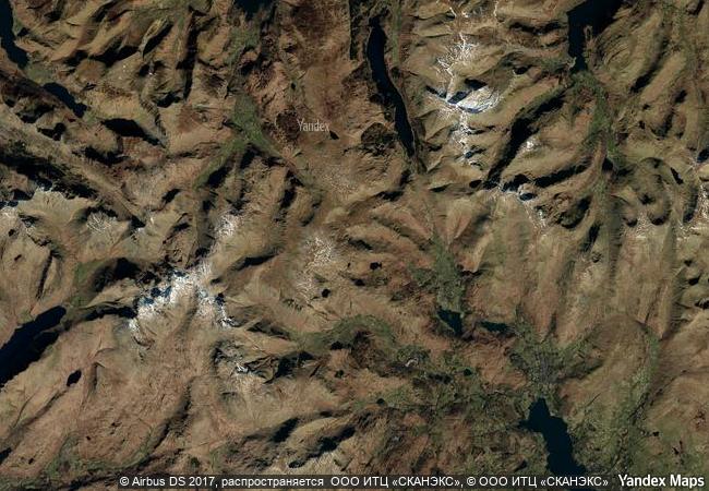
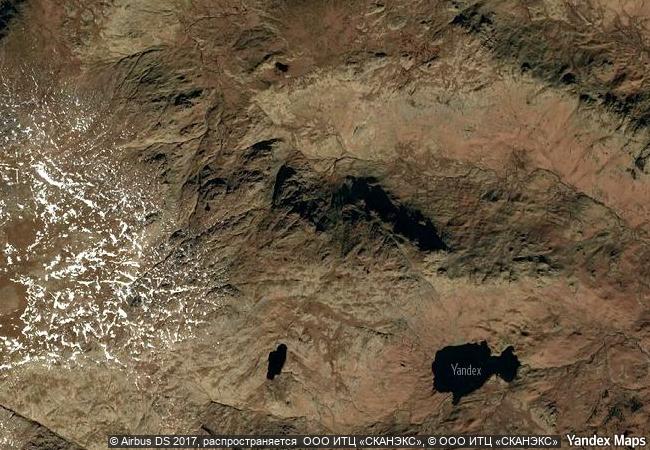
description located in northwest england, the english lake district is a mountainous area, whose valleys have been modelled by glaciers in the ice age and subsequently shaped by an agro-pastoral land-use system characterized by fields enclosed by walls. the combined work of nature and human activity has produced a harmonious landscape in which the mountains are mirrored in the lakes. grand houses, gardens and parks have been purposely created to enhance the landscape’s beauty. this landscape was greatly appreciated from the 18th century onwards by the picturesque and later romantic movements, which celebrated it in paintings, drawings and words. it also inspired an awareness of the importance of beautiful landscapes and triggered early efforts to preserve them.
★
1.7 M

United Kingdom
www.X-X-X.NAME
54,47 ° × -3,08 °

54 ° 29 ′ 36 ″ N × 3 ° 05 ′ 57 ″ W
5.902.38 km

44 ° NE
United Kingdom, England, Cumbria County

Atlantic Ocean / British Isles / United Kingdom / Great Britain / England / Cumbria County
☆
Yungang Grottoes

Datong City, Shanxi Province

10.963.07 km
☆
Head-Smashed-In Buffalo Jump

Province of Alberta

2.625.29 km
☆
Necropolis of Bet She’arim: A Landmark of Jewish Renewal

Europe and North America

9.734.00 km
☆
Speyer Cathedral

State of Rhineland-Palatinate (Rheinland-Pfalz)

6.858.03 km
☆
Rapa Nui National Park

Easter Island province of the Valparaíso Region

7.937.72 km
☆
Meidan Emam, Esfahan

Esfahan

10.691.66 km
☆
Historic Villages of Korea: Hahoe and Yangdong

Asia and the Pacific

10.919.43 km
☆
Mines of Rammelsberg, Historic Town of Goslar and Upper Harz Water Management System

Europe and North America

6.837.82 km
☆
Ruins of León Viejo

Puerto Momotombo, Municipality of La Paz Centro, Department of León

3.084.81 km
☆
Rila Monastery

On the slopes of Rila, the highest Balkan Peninsula Mountain, in the valley of the Rilska River, 29 km east of the Sofia-Thessaloniki Highway. Rila, Kyustendil Province

8.259.54 km
☆
Sacri Monti of Piedmont and Lombardy

Regions of Lombardy and Piedmont

7.093.33 km
☆
Caves of Maresha and Bet-Guvrin in the Judean Lowlands as a Microcosm of the Land of the Caves

Europe and North America

9.809.63 km

©

1 X ™


BRAND • COM • CORP • GLOBAL • INT

AAA • BASE • GRAND • HIGH • ORIGINAL • QUALITY • TOP • UNIQUE

™X-X-X•NAME
1 X ™ unesco
Info
Map
similar
language
▼ ▼ ▼
guest


1 X
™
-4
IP : America/New_York
-4
IP : America/New_York
▼ ▼ ▼
►
►