X 1 xXx ™
⬤
unesco
⬤


☆
Paseo del Prado and Buen Retiro, a landscape of Arts and Sciences

Europe and North America

6.489.08 km
☆
★★★★☆
0

Paseo del Prado and Buen Retiro, a landscape of Arts and Sciences


Identifier 1618
states es
category cultural
criteria (ii)(iv)(vi)
Title paseo del prado and buen retiro, a landscape of arts and sciences
latitude 40.4153327942
longitude -3.6870560646
Region europe and north america
year 2021
unique number 2571
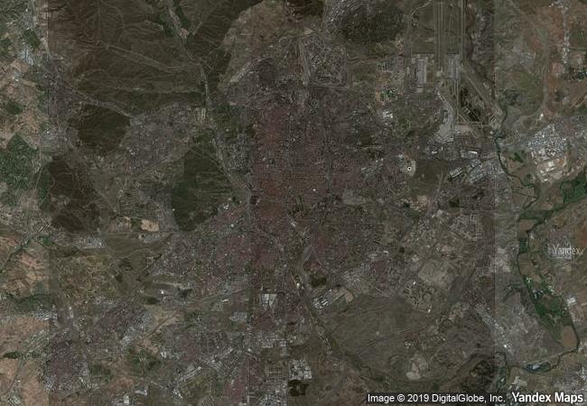
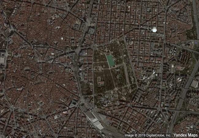
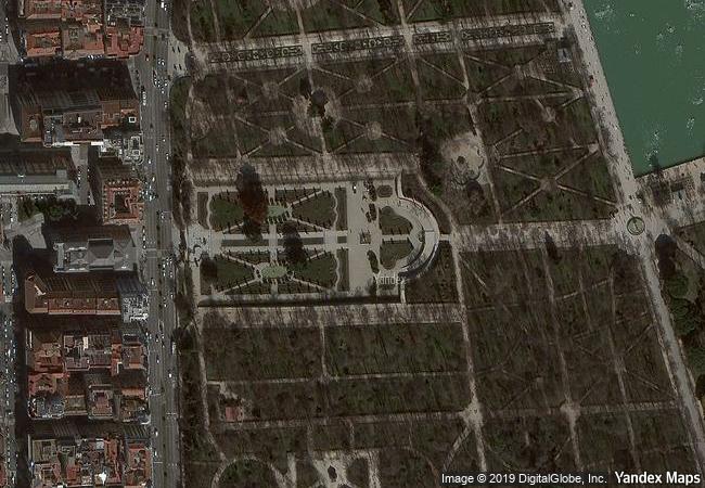
description located at the urban heart of madrid, this cultural landscape evolved since the creation of the tree-lined paseo del prado avenue, a prototype of the hispanic alameda, in the 16th century. the avenue features major fountains, notably the fuente de apolo and the fuente de neptuno, and the fuente de cibeles, an iconic symbol of the city, surrounded by prestigious buildings. the site embodies a new idea of urban space and development from the enlightened absolutist period of the 18th century. buildings dedicated to the arts and sciences join others in the site that are devoted to industry, healthcare and research. collectively, they illustrate the aspiration for a utopian society during the height of the spanish empire, linked to the enlightened idea of democratization of knowledge, and exercised major influence in latin america. the 120-hectare jardines del buen retiro (garden of pleasant retreat), a remnant of the 17th-century buen retiro palace, constitutes the largest part of the property. the site also houses the terraced royal botanical garden and the largely residential neighbourhood of barrio jerónimos with its rich variety of 19th- and 20th-century buildings that include cultural and scientific venues.
★
7.3 M

Spain
www.X-X-X.NAME
40,41 ° × -3,68 °

40 ° 25 ′ 55 ″ N × 3 ° 41 ′ 13 ″ W
6.489.08 km

140 ° S>SE
Spain, Municipios Madrid, Parque del Retiro

Spain / Provincia de Madrid / Comunidad Autónoma de Madrid / Municipios Madrid / Madrid / Retiro / Jerónimos / Parque del Retiro
☆
Pilgrimage Church of Wies

Town of Steingaden, District of Weilheim-Schongau, Region of Upper Bavaria, State of Bavaria (Bayern)

7.106.43 km
☆
Bikini Atoll Nuclear Test Site

Asia and the Pacific

10.950.83 km
☆
Archaeological Sites of Bat, Al-Khutm and Al-Ayn

Al Dhahira region

11.839.90 km
☆
Historic Town of Banská Štiavnica and the Technical Monuments in its Vicinity

Town and District of Banská Štiavnica, Region of Banská Bystrica

7.552.25 km
☆
Sukur Cultural Landscape

Madagali Local Government Area, Adamawa State

9.793.97 km
☆
Gordion

Europe and North America

8.980.89 km
☆
Episcopal City of Albi

Europe and North America

6.728.09 km
☆
Historic Centre of Agadez

Africa

8.888.00 km
☆
Historic District of Old Québec

Province of Quebec, City of Quebec

1.217.49 km
☆
Burgos Cathedral

Province of Burgos, Autonomous Community of Castile-Leon

6.389.82 km
☆
Hatra

Governorate of Ninawa

9.944.75 km
☆
Complex of Hué Monuments

Province: Thua Thien - Hue

13.645.54 km

©

1 X ™


BRAND • COM • CORP • GLOBAL • INT

AAA • BASE • GRAND • HIGH • ORIGINAL • QUALITY • TOP • UNIQUE

™X-X-X•NAME
1 X ™ unesco
Info
Map
similar
language
▼ ▼ ▼
guest


1 X
™
-5
IP : America/New_York
-5
IP : America/New_York
▼ ▼ ▼
►
►