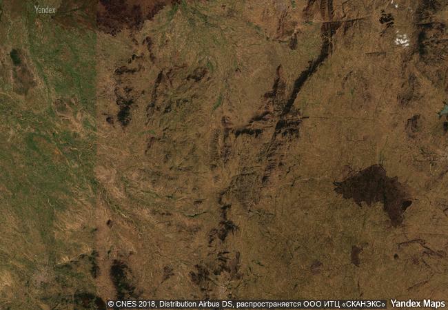
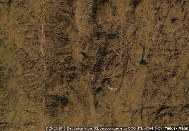
Sukur Cultural Landscape
Madagali Local Government Area, Adamawa State
|

|
Identifier |
938 |
|

|
states |
ng |
|

|
category |
cultural |
|

|
criteria |
(iii)(v)(vi) |
|

|
Title |
sukur cultural landscape |
|

|
latitude |
10.7405595779 |
|

|
longitude |
13.5719404221 |
|

|
location |
madagali local government area, adamawa state |
|

|
Region |
africa |
|

|
year |
1999 |
|

|
unique number |
1093 |
|

|
description |
the sukur cultural landscape, with the palace of the hidi (chief) on a hill dominating the villages below, the terraced fields and their sacred symbols, and the extensive remains of a former flourishing iron industry, is a remarkably intact physical expression of a society and its spiritual and material culture. |
|

|
justification |
criterion (iii): sukur is an exceptional landscape which graphically illustrates a form of land-use that marks a critical stage in human settlement and its relationship with its environment. criterion (v): the cultural landscape of sukur has survived unchanged for many centuries, and continues to do so at a period when this form of traditional human settlement is under threat in many parts of the world. criterion vi the cultural landscape of sukur is eloquent testimony to a strong and continuing cultural tradition that has endured for many centuries. |
|


 0
0


 1 X ™ unesco
 Info
Info
 Map
Map
 similar
 language