Historical Centre of the City of Yaroslavl
Yaroslavl Oblast
|

|
Identifier |
1170 |
|

|
states |
russian |
|

|
category |
cultural |
|

|
criteria |
(ii)(iv) |
|

|
Title |
historical centre of the city of yaroslavl |
|

|
latitude |
57.6527786255 |
|

|
longitude |
39.8761100769 |
|

|
location |
yaroslavl oblast |
|

|
Region |
europe and north america |
|

|
year |
2005 |
|

|
unique number |
1347 |
|

|
description |
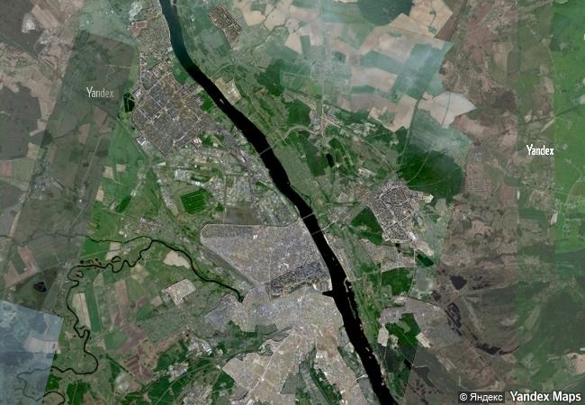
situated at the confluence of the volga and kotorosl rivers some 250 km north-east of moscow, the historic city of yaroslavl developed into a major commercial centre from the 11th century. it is renowned for its numerous 17th-century churches and is an outstanding example of the urban planning reform empress catherine the great ordered for the whole of russia in 1763. while keeping some of its significant historic structures, the town was renovated in the neoclassical style on a radial urban master plan. it has also kept elements from the 16th century in the spassky monastery, one of the oldest in the upper volga region, built on the site of a pagan temple in the late 12th century but reconstructed over time. |
|

|
justification |
criterion (ii): the historic town of yaroslavl with its 17th century churches and its neo-classical radial urban plan and civic architecture is an outstanding example of the interchange of cultural and architectural influences between western europe and russian empire.
criterion (iv): yaroslavl is an outstanding example of the town-planning reform ordered by empress catherine the great in the whole of russia, implemented between 1763 and 1830. |
|


 0
0




 1 X ™ unesco
 Info
Info
 Map
Map
 similar
 language