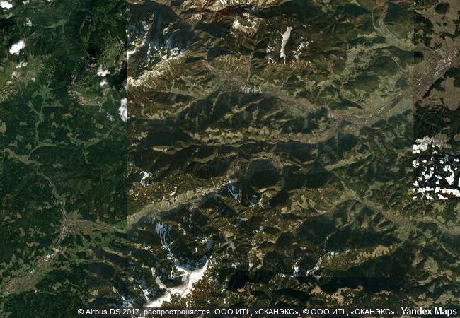
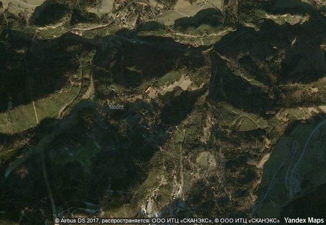
Semmering Railway
Between Gloggnitz, State of Lower Austria and Simmering, State of Styria
|

|
Identifier |
785 |
|

|
states |
at |
|

|
category |
cultural |
|

|
criteria |
(ii)(iv) |
|

|
Title |
semmering railway |
|

|
latitude |
47.6487770081 |
|

|
longitude |
15.8279724121 |
|

|
location |
between gloggnitz, state of lower austria and simmering, state of styria |
|

|
Region |
europe and north america |
|

|
year |
1998 |
|

|
unique number |
928 |
|

|
description |
the semmering railway, built over 41 km of high mountains between 1848 and 1854, is one of the greatest feats of civil engineering from this pioneering phase of railway building. the high standard of the tunnels, viaducts and other works has ensured the continuous use of the line up to the present day. it runs through a spectacular mountain landscape and there are many fine buildings designed for leisure activities along the way, built when the area was opened up due to the advent of the railway. |
|

|
justification |
criterion (ii): the semmering railway represents an outstanding technological solution to a major physical problem in the construction of early railways.
criterion (iv): with the construction of the semmering railway, areas of great natural beauty became more easily accessible and as a result these were developed for residential and recreational use, creating a new form of cultural landscape. |
|


 0
0


 1 X ™ unesco
 Info
Info
 Map
Map
 similar
 language