|
|


| |||||
|
|
 0
0
|

|

|

|
|
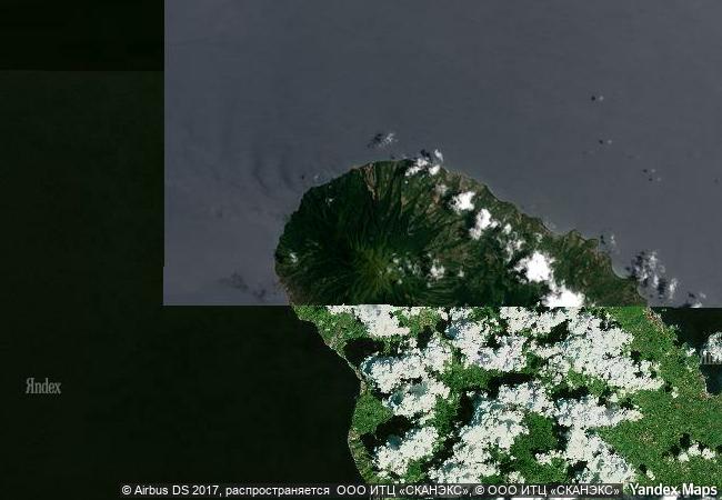
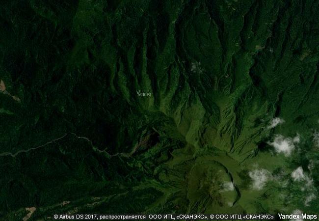
Volcanoes and Forests of Mount Pelée and the Pitons of Northern Martinique |
|||

|
|||

|
|||

|
|||

|
|||

|
|||

|
|||

|
|||

|
|||

|
|||

|
|||

|
|||
2.31 M
 |
|
|
|
|
|
14.8233032227 ° × -61.1758613586 ° |
3.508.68 |
|
Martinique, Trinité |
|
|
|

|
|


|

|

|

|

|
|

|

|

|

|

|

|

|

|

|

|
 1 X ™ unesco
|
 Info
Info
|
 Map
Map
|
 similar
|
 language
|
|
|
|
|
|
|
|
|
|
|

|

|

|

|

|

|

|
|
| ▼ ▼ ▼ | |
|
|

|

|

|
|
► ► |