1 X xXx
unesco


Cultural Landscape of Kenozero Lake

Europe and North America

7.524.17 km
0

Cultural Landscape of Kenozero Lake


Identifier 1688
states russian
category cultural
criteria (iii)
Title cultural landscape of kenozero lake
latitude 61.9280014038
longitude 38.1726112366
Region europe and north america
year 2024
unique number 2558
description 
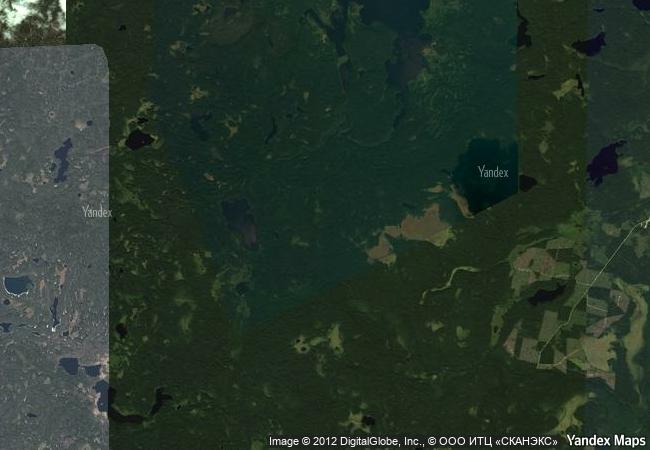
located in kenozero national park in the north-western area of the european region of the russian federation, the property depicts the local cultural landscape that evolved here from the 12th century, following the gradual slavic colonization. it incorporates a number of traditional rural settlements with vernacular wooden architecture and reflects the communal management of agriculture and nature that developed when the indigenous finno-ugric forest culture merged with the traditional slavic field culture. wooden churches and other religious buildings, originally decorated with painted ceilings, or “heavens”, are the key social, cultural, and visual landmarks of the area. their spatial organization, together with sacred sites and symbols, highlight the residents’ spiritual connection with this environment.
1.9 M
(3)

Russian Federation
www.X-X-X.NAME
61,92 ° × 38,17 °

61 ° 56 ′ 41 ″ N × 38 ° 10 ′ 21 ″ E
7.524.17 km

44 ° NE
Russia, Archangel Region, Plesetsk Municipal District, Plesetsk sector of Kenozero National Park

North European Plain / Archangel Region / Plesetsk Municipal District / munitsipalnoye obrazovaniye Kenozerskoye / Kenozero National Park / Plesetsk sector of Kenozero National Park
Medina of Essaouira (formerly Mogador)

Province of Essaouira, Tensift Region

6.492.20 km
Forts and Castles, Volta, Greater Accra, Central and Western Regions

Volta, Greater Accra, Central and Western Regions

8.985.19 km
Churches of the Pskov School of Architecture

Europe and North America

7.420.64 km
Shrines and Temples of Nikko

Tochigi Prefecture

10.439.07 km
Gusuku Sites and Related Properties of the Kingdom of Ryukyu

Okinawa Prefecture

12.000.23 km
Eisinga Planetarium in Franeker

Europe and North America

6.479.93 km
Historic Centre of Zacatecas

Zacatecas State, Zacatecas Municipality

2.653.18 km
Ruins of Loropéni

Africa

8.379.69 km
Major Mining Sites of Wallonia

Europe and North America

6.508.50 km
Cultural Landscape of Bali Province: the Subak System as a Manifestation of the Tri Hita Karana Philosophy

Asia and the Pacific

16.044.13 km
Medina of Tunis

Tunis

7.723.10 km
Sado Island Gold Mines

Asia and the Pacific

10.376.99 km

©

1 X ™


BRAND COM CORP GLOBAL INT

AAA BASE GRAND HIGH ORIGINAL QUALITY TOP UNIQUE

X-X-X•NAME
1 X ™ unesco
Info
Map
similar
language
guest


1 X
-4
IP : America/New_York
-4
IP : America/New_York