|
|

| |||||
|
|
 0
0
|

|

|

|
|
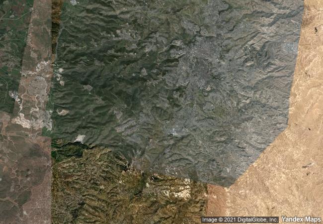
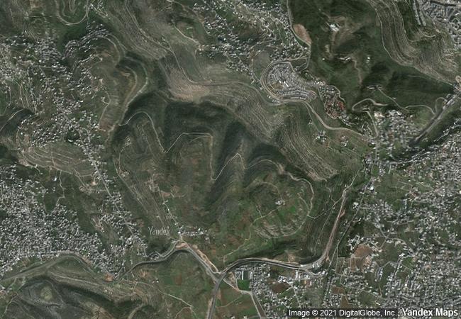
Palestine: Land of Olives and Vines – Cultural Landscape of Southern Jerusalem, Battir |
|||

|
|||

|
|||

|
|||

|
|||

|
|||

|
|||

|
|||

|
|||

|
|||

|
|||

|
|||

|
|||
8.61 M
|
|
|
|
|
|
31,71 ° × 35,15 ° |
9.816.78 |
|
Palestine, West Bank |
|
|
|

|
|


|

|

|

|

|

|

|

|

|

|

|

|

|

|

|

|
 1 X ™ unesco
|
 Info
Info
|
 Map
Map
|
 similar
|
 language
|
|
|
|
|
|
|
|
|
|
|

|

|

|

|

|

|

|
|
| ▼ ▼ ▼ | |
|
|

|

|

|
|
► ► |